
2015 Cabled Array Cruise, A Success for OOI Infrastructure and Scientific Discovery
The 2015 Cabled Array cruise marked the completion of installation at the Cabled Array, provided a first look at the April 2015 Axial eruption site, and led to the discovery of a new seep site on the continental slope.
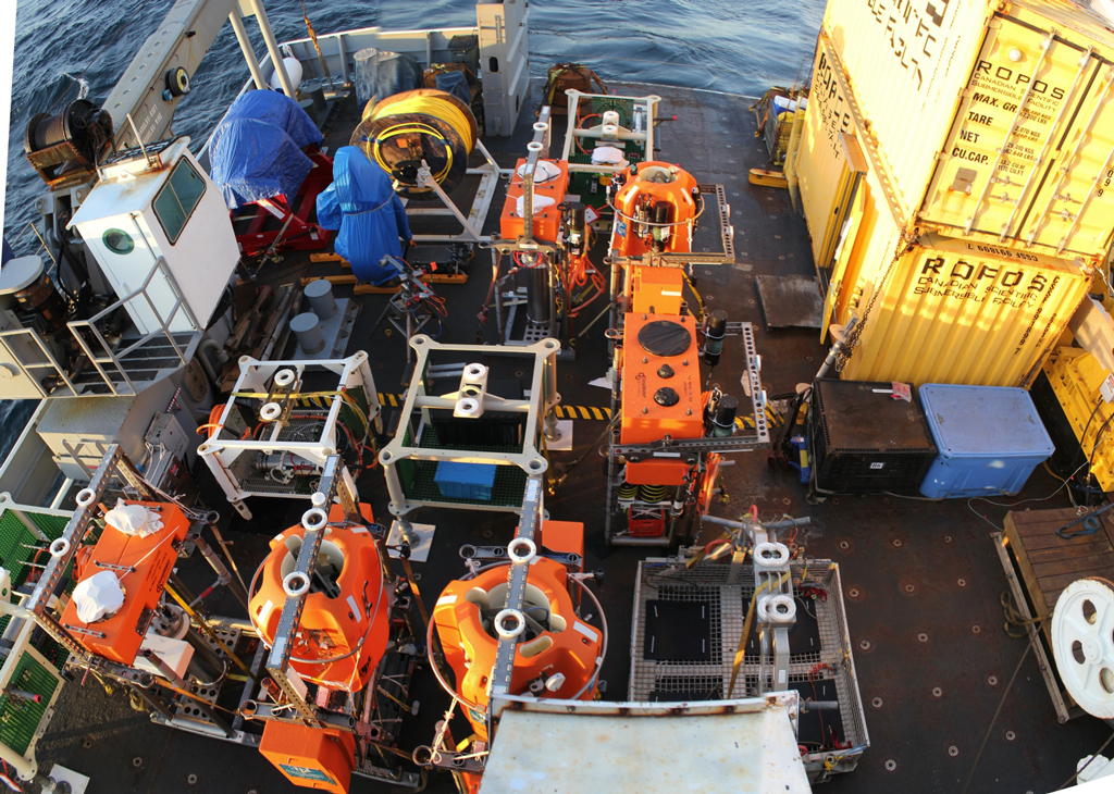
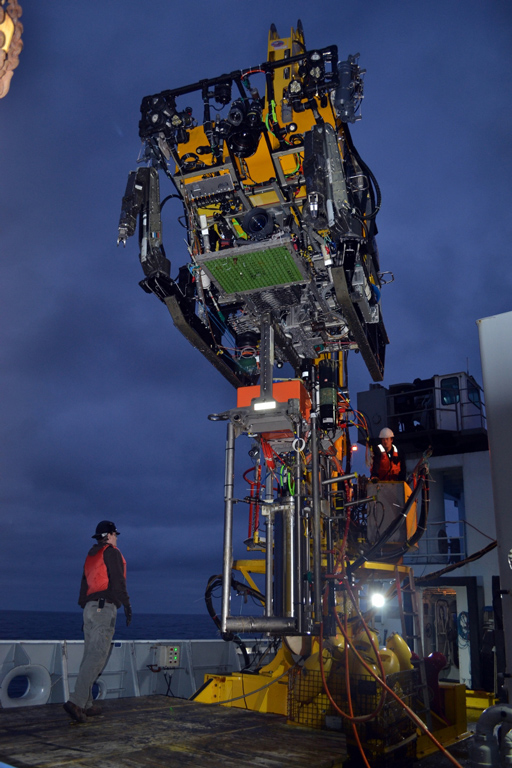
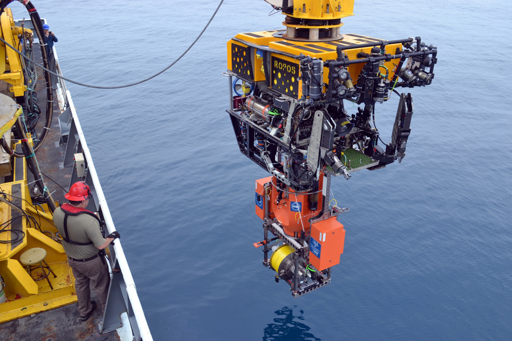
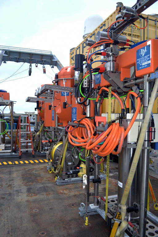
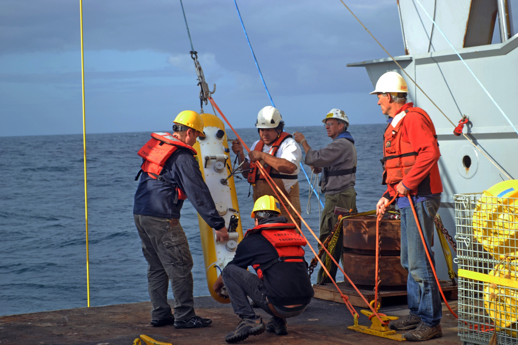
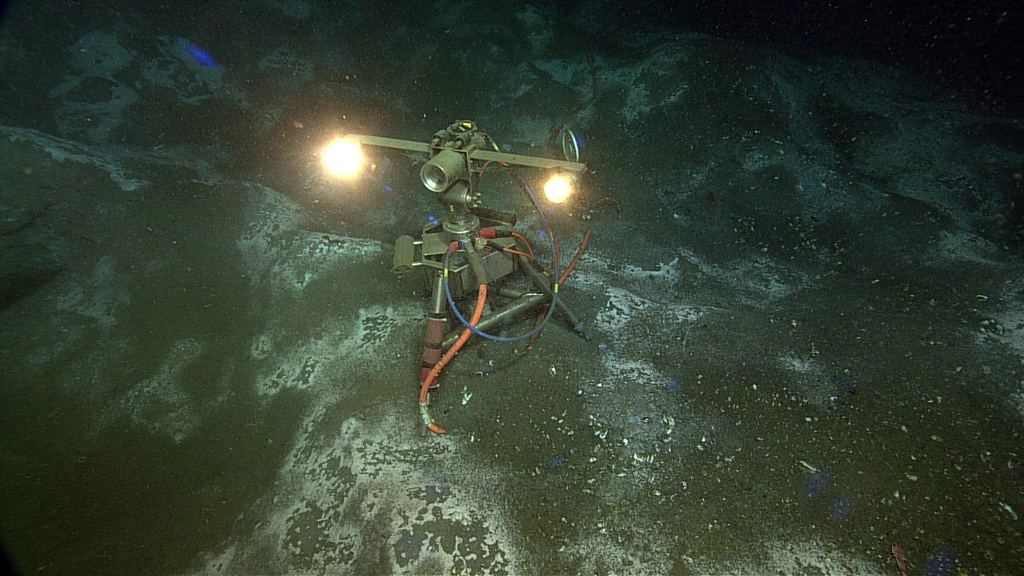
On August 7th, the OOI Cabled Array team, along with 21 students and the remotely operated vehicle ROPOS, completed installation of the OOI Cabled Array, as well as its first maintenance cruise. A total of 118 instruments are now streaming data from the Juan de Fuca plate through 540 miles of fiber-optic cable to shore.
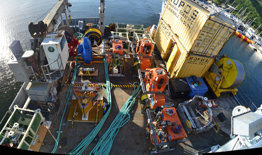
The R/V Thompson set sail on July 4th from the University of Washington on a 3-Leg, 35-day cruise with the objective to 1) deploy Deep Profiler Moorings on the continental slope, at the slope base off of Oregon, and at the base of Axial Volcano and 2) recover and reinstall junction boxes, mooring science pods, and instruments at the 6 cabled study sites comprising the Cabled Array. Over the course of the cruise, 13 platforms and 112 instruments were installed and ROPOS completed 55 dives.
Leg 1 (July 4-20) focused on “turning” (recovery & reinstallation) of infrastructure at Slope Base, Southern Hydrate Ridge, Endurance Oregon Offshore, and Axial Seamount base and summit sites. Work included:
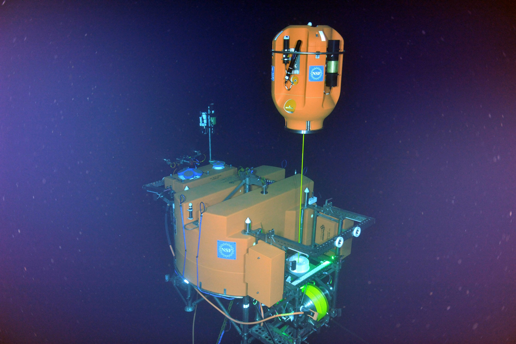
- Recovery and installation of Shallow Winched Profilers and instrumented Platform Interface Controllers on Shallow Profiler Moorings at Slope Base and Axial Base. CTD casts were conducted for verification of instrumentation.
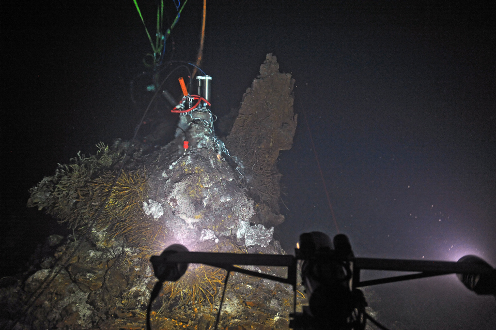
- Recovery, installation, and cleaning of instrumentation at Southern Hydrate Ridge.
- Turning of Low-Power Junction Boxes at Slope Base and Axial Base.
- Turning of instrumentation at the ASHES and International District hydrothermal vent fields.
Leg 2 (July 20-30) focused predominantly on the installation and turning of the Deep Profiler Moorings at Slope Base, Oregon Endurance Offshore, and at the base of Axial Seamount. Work included:
- Recovery and installation of the Deep Profiler Moorings at the Endurance Oregon Offshore site and Axial Base and installation at Slope Base.
- Installation of seafloor instrumentation at Slope Base and Axial Base.
- CTD casts for verification of instrumentation.
Leg 3 (July 30-August 7) focused on turning infrastructure at the Endurance Oregon Offshore and Shelf sites. Work included:
- Recovery and installation of the Shallow Winched Profiler and instrumented Platform Interface Controller on the Shallow Profiler Mooring at the Endurance Oregon Offshore site. CTD casts were conducted for verification of instrumentation.
- Recovery and installation of the Benthic Experiment Packages at the Endurance Oregon Offshore and Shelf sites.
- Recovery of the Endurance Oregon Shelf Coastal Surface Piercing Profiler.
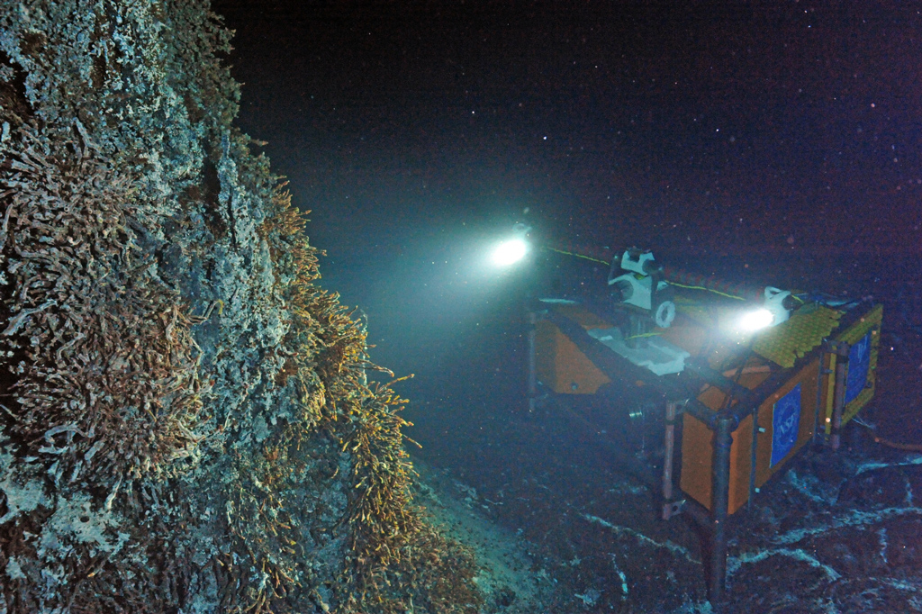
In addition to installation and maintenance, during the cruise the team was able to make several scientific discoveries including the discovery and documentation of a new substantial seep site on the continental slope and a visit to the site of the April 24th, 2015 Axial Seamount eruption.
The seep was discovered during Leg 2 of the cruise north of the Endurance Oregon Offshore site. It was discovered by Brendan Philip, a recent graduate of the University of Washington undergraduate Oceanography program.
On July 26th, 2015, after descending ~1840 m beneath the ocean’s surface, the remotely operated vehicle ROPOS and the OOI Cabled Array team set first eyes on the April 24th, 2015 voluminous eruption of Axial Seamount. Within two minutes of reaching the seafloor, fresh bulbous pillow flows on top of older flows were encountered. The eruption site was delineated using the R/V Thompson’s EM302 system; the flow was measured to be >7 km long and up to 127 m thick on the northern rift and there were hints that thin flows erupted within the caldera itself. For more information on the eruption site and underwater images, check out the story here. To download data from the bathymetric survey click here.
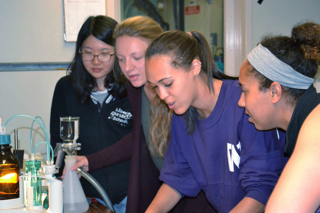
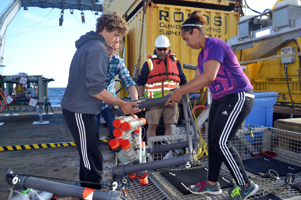
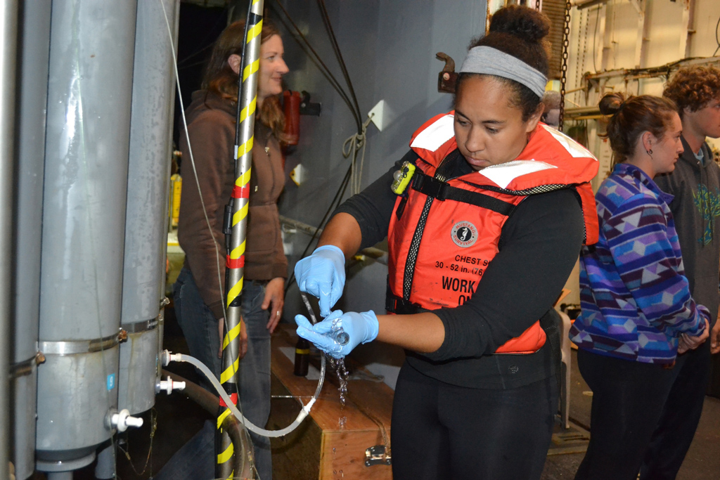
Similar to previous years, the hard work of 20 undergraduate students and one graduate student from the University of Washington, Grays Harbor College, Oregon State University, and Western Washington University significantly contributed to the cruise. The students were dedicated data acquisition loggers in the ROPOS control room and were instrumental in video and digital still image documentation of all shipboard operations, as well as documentation of all instrumentation and platforms that were installed and recovered. The team is very excited to see the results of their science and outreach projects late Fall 2015.
This deployment cruise marked the completion of OOI Cabled Array installation. Data from the Cabled Array instrumentation will become available to the public onshore in near-real time via the Internet upon commissioning of the Cyberinfrastructure in October 2015. Preliminary Seismometer and bottom pressure data are currently available here.
For more information on Cabled Array deployments check out the following stories
- 2011 Primary Cable Deployment
- 2012 Primary Node Installation
- 2013 Extension Cable Installation
- 2014 Instrumented Site Installation
For more information on instruments located on the Cabled Array click here. For more information on the cruise, daily log, and photos, check out the 2015 Cabled Array cruise website.
-
- (Click to enlarge & more info)
-
- (Click to enlarge & more info)
-
- (Click to enlarge & more info)
-
- (Click to enlarge & more info)
-
- (Click to enlarge & more info)
-
- (Click to enlarge & more info)
-
- (Click to enlarge & more info)
-
- (Click to enlarge & more info)
-
- (Click to enlarge & more info)
-
- (Click to enlarge & more info)
-
- (Click to enlarge & more info)
-
- (Click to enlarge & more info)
-
- (Click to enlarge & more info)