Rolling Seas, Followed by Blue Skies During Pioneer 15
The weather for the 15-day Pioneer 15 expedition aboard the R/V Neil Armstrong came in like a lion and left like a lamb. As the ship departed the Woods Hole dock on 28 October, the sky was gray, the air damp, and the forecast foreboding as the 10- member scientific team and the crew of the R/V Neil Armstrong headed toward the Pioneer Array, about 75 nautical miles south of Martha’s Vineyard.
During Leg 1, the ship had some rocky days and briefly sought the protection of Menemsha Bight on the northwest side of Martha’s Vineyard as Tropical Storm Zeta passed through and brought her fury with her. Leg 2 of the journey brought with it clear skies and smooth sailing. The following shows the wind and pressure data from the ship throughout the Pioneer 15 cruise.

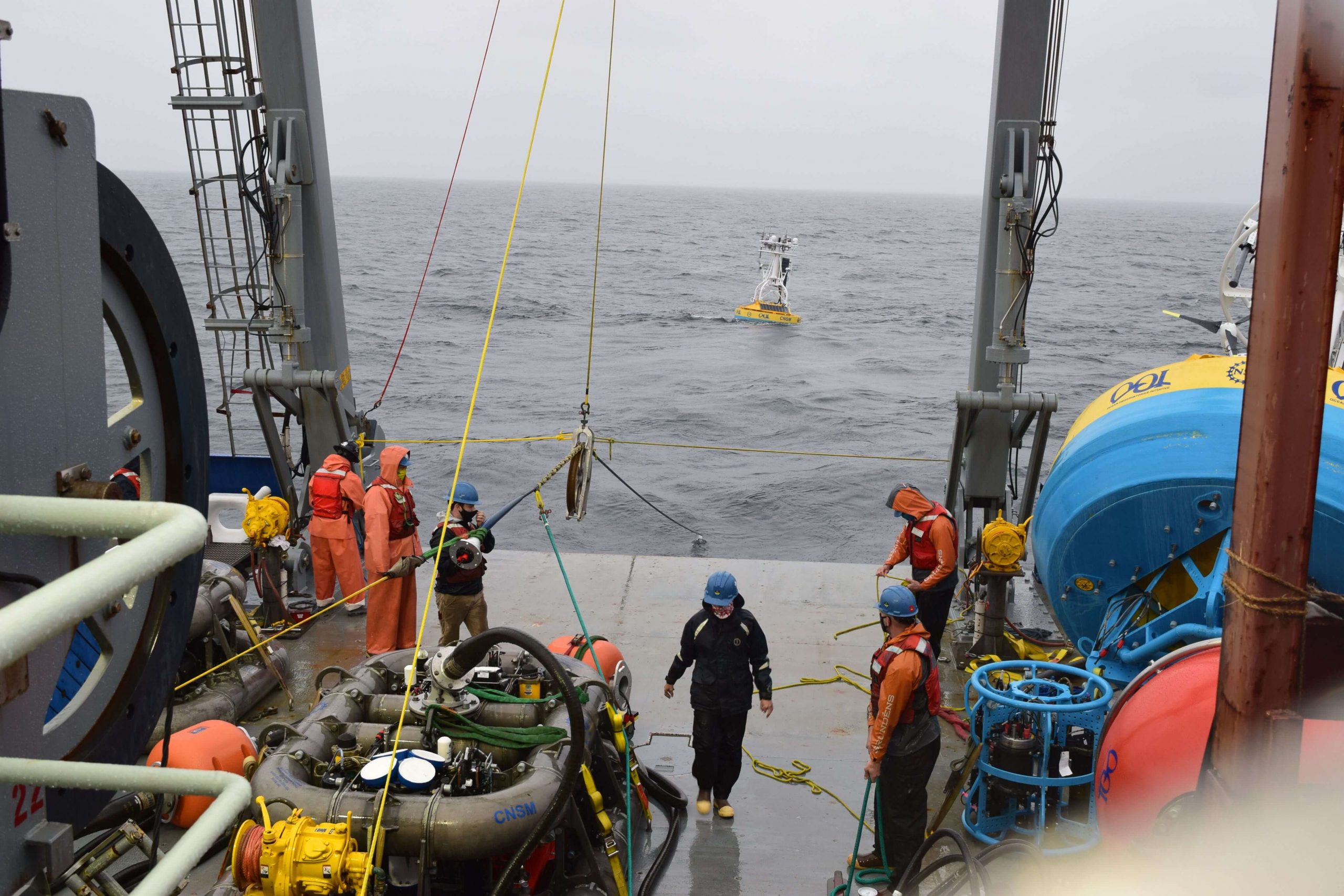
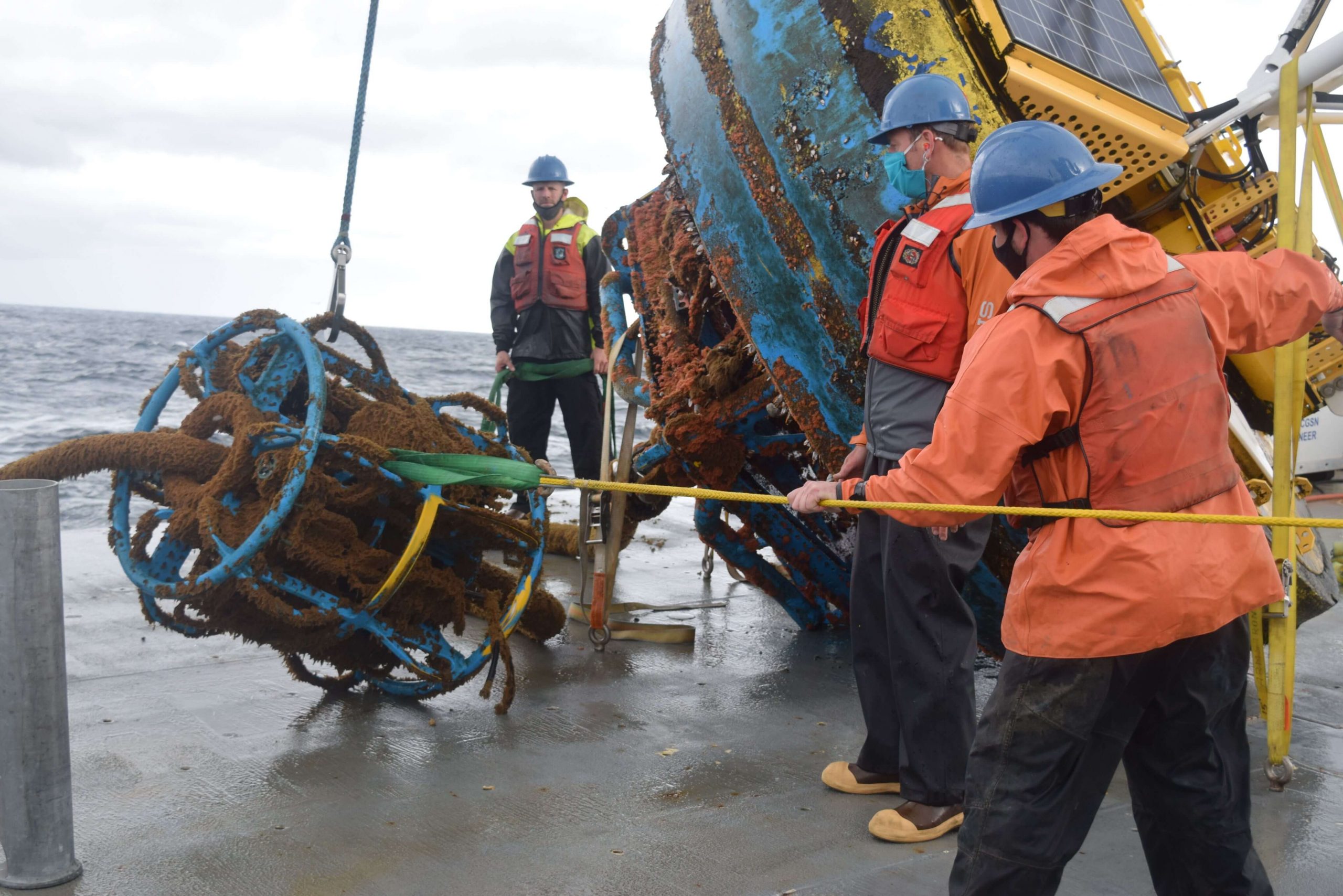
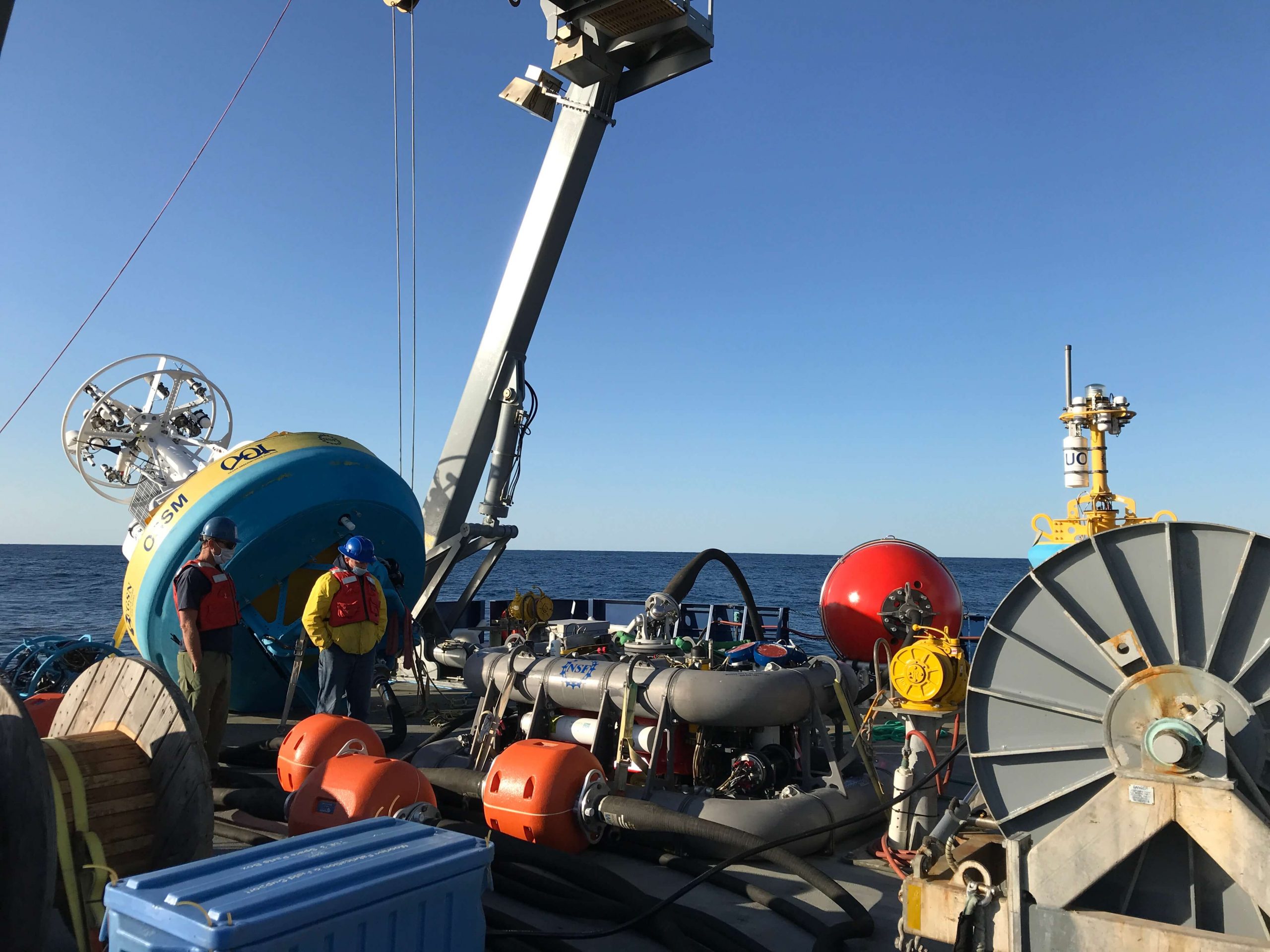
Chief Scientist Sheri N. White said, “Despite the difficult weather, we had a very successful mission. The team recovered and deployed three coastal surface moorings and a profiler mooring, and deployed two winter coastal profiler moorings. We also were able to recover three gliders, and collect shipboard and CTD data in the vicinity of the Array. We planned on a bit of flexibility in the schedule due to the late fall departure, which always brings with it unpredictable conditions.”
The expedition was conducted in two legs because all of the moorings could not be accommodated on the ship at the same time. The Team returned to home port at the conclusion of the cruise on 11 November, when they disembarked after a month of being either in isolation or at sea away from friends and family.
The recovered moorings are now undergoing refurbishment onsite at WHOI so they will be ready for the next equipment turn in spring 2021. Next on tap for the Pioneer Array is the deployment of four gliders, Next on tap for the Pioneer Array is the deployment of four gliders, which will be done from a small vessel when the weather allows a safe transit.
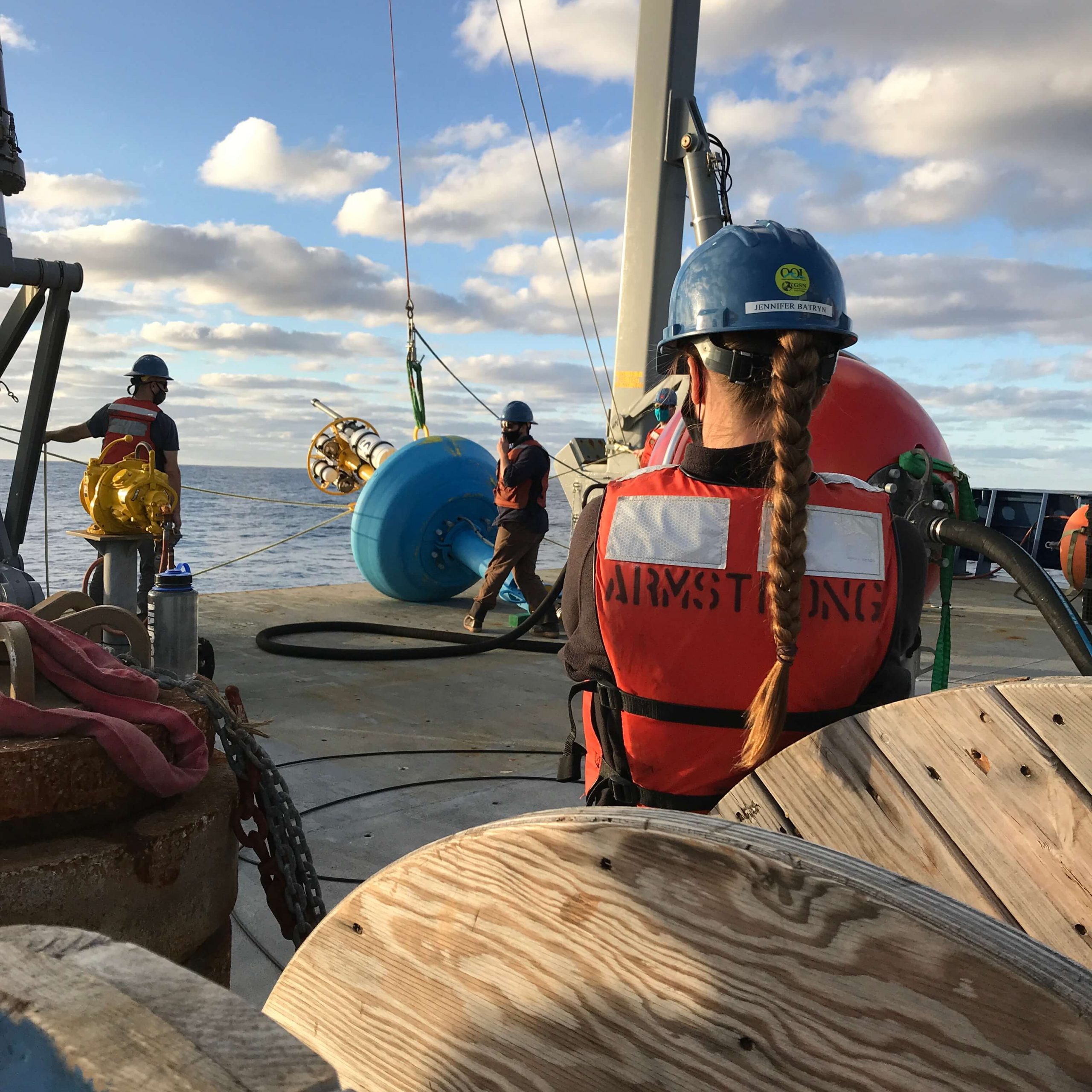
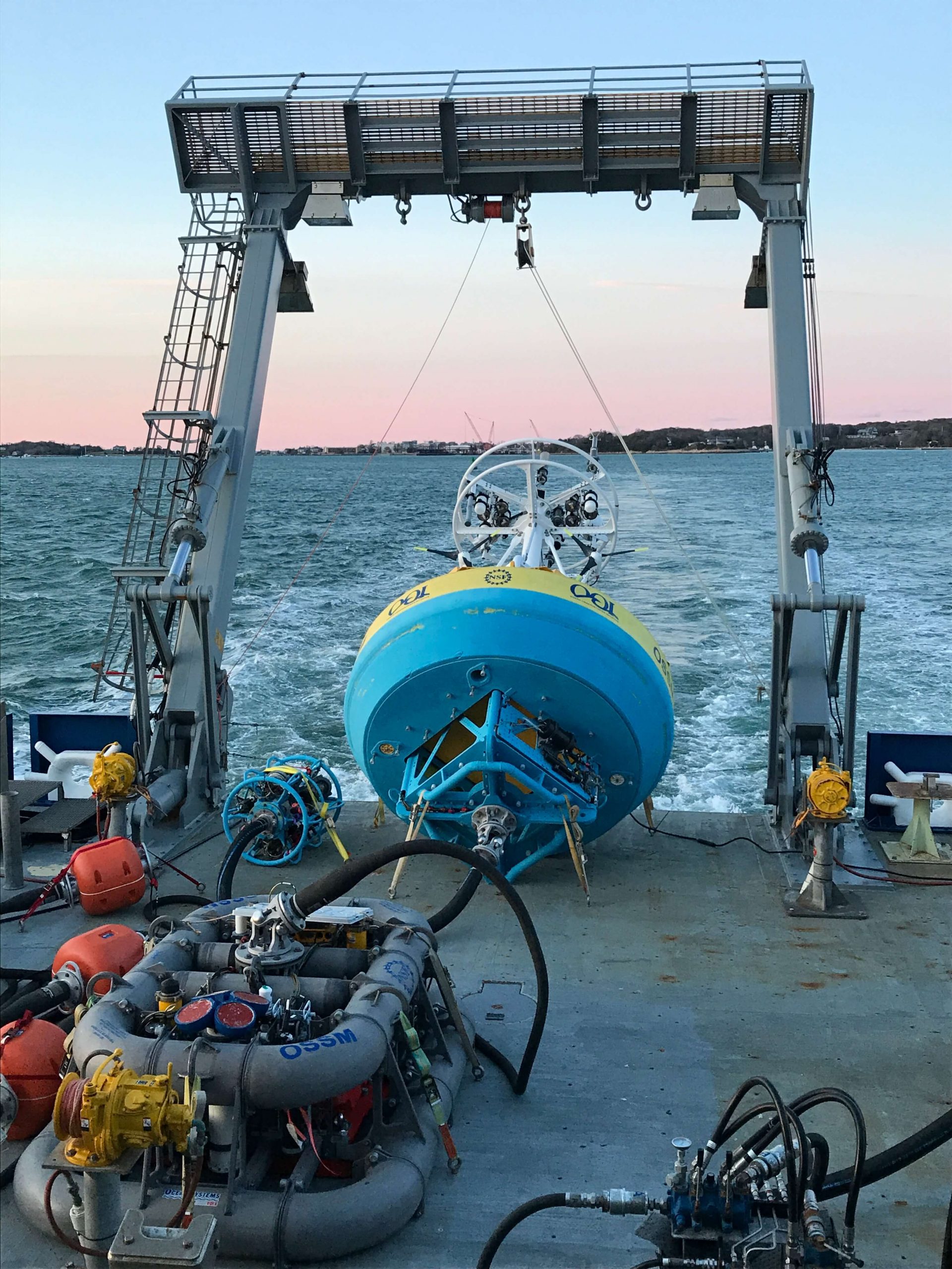
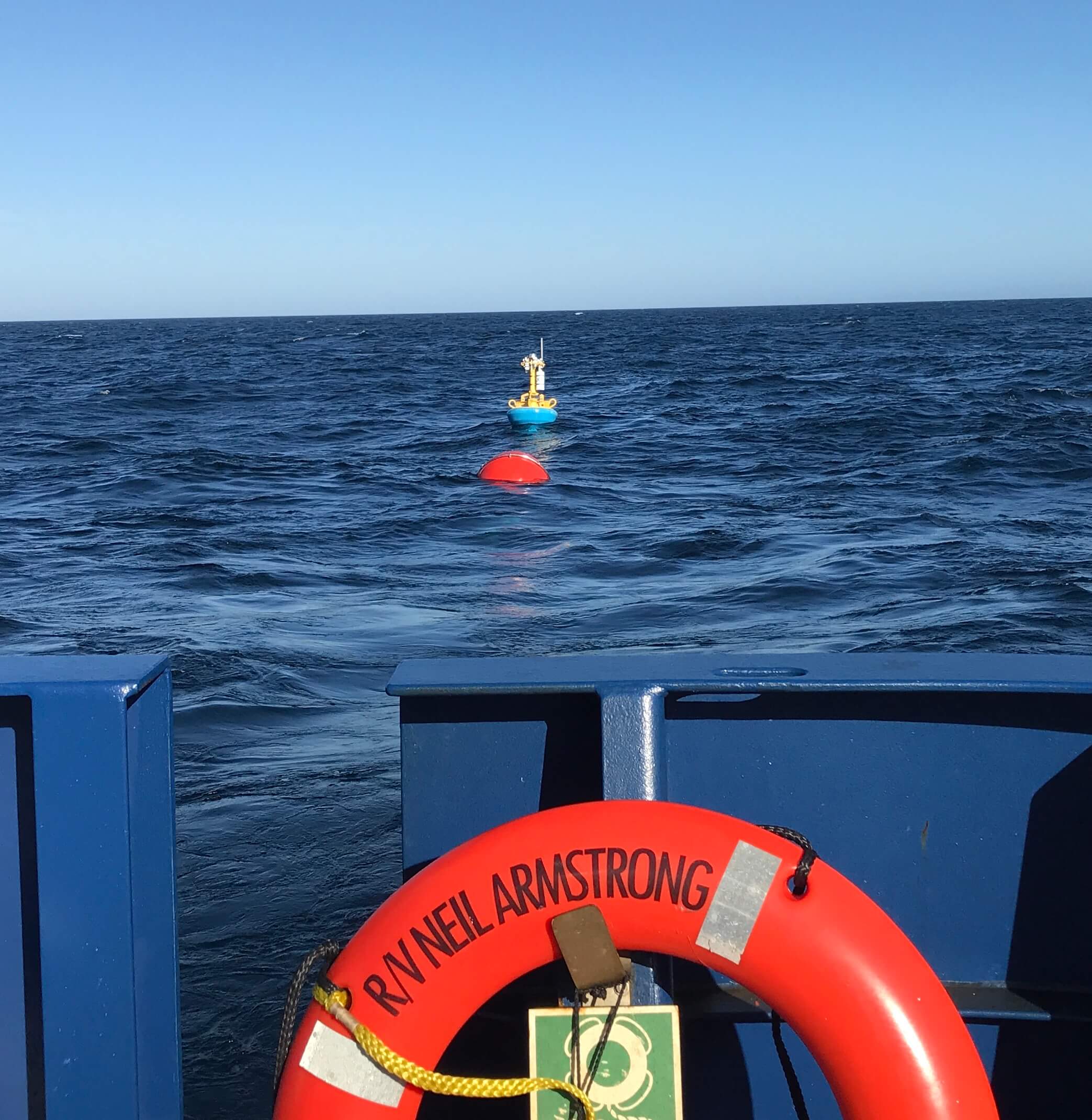
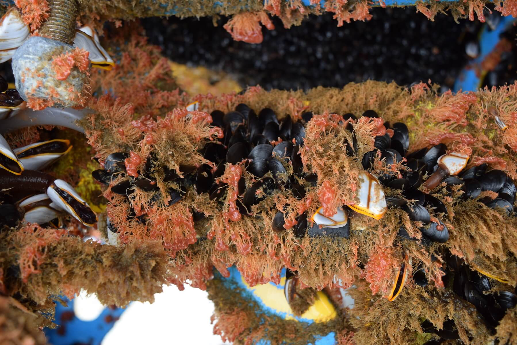
Pioneer 15 in Pictures