OOI Monthly Update – May 2016 & World Ocean Day
Letter from the Director
OOI User Community and Colleagues,
Welcome to another edition of our OOI Monthly Newsletter. LOTS to cover this month, including achievement of a major program milestone and some exciting media coverage which highlights recent OOI developments and our program’s play in World Ocean Day.
Our OOI Cyber Infrastructure (CI) capabilities take a major leap forward this month with the release last week of our full suite of data delivery and display tools and a great improved User Interface (UI). And, the data team remains hard at work, continually coming bringing more data to you through the OOI data portal.
I encourage all of our many users to try out these new features and, as always, to keep the great feedback coming in to the HelpDesk. Your ongoing inputs are critical for us to identify and correct errors and make continual improvements to the data portal and other areas on the OOI website.
This month we’ve got yet another round of “turn cruises” getting underway, as our Implementing Organizations continue heading to sea to replace OOI instruments as a regular part of life cycle management.
Our summer season is off to a busy start, and I don’t see any slowdowns on the horizon!
Stay with us, and stay engaged.
Greg
Happy World Ocean Day
From everyone at the Ocean Observatories Initiative, we hope that you all had a great World Ocean Day and perhaps were able to celebrate the day by exploring the ocean through OOI online data.
Bring the Ocean into Your Home: Exploration is one click away
When the HMS Challenger set sail in 1872, researchers made discoveries that laid the foundation of the science of oceanography. These early scientists couldn’t have imagined that more than a century later, the secrets of the sea could be discovered by almost anyone, even those thousands of miles from the coastline.
Today with the National Science Foundation (NSF)-funded Ocean Observatories Initiative (OOI), the ocean is accessible 24 hours a day, 7 days a week to anyone with an Internet connection.
“The OOI is placing as much ocean data online as possible and making it available in real-time,” says Roger Wakimoto, NSF Assistant Director for Geosciences. “In addition to scientific discovery, we hope to spark the public’s interest in the sea and contribute to the safety of those who make their living on the water or vacation along the coast.”
The OOI is a permanent scientific presence in the ocean. It consists of 83 platforms with more than 830 instruments providing more than 100,000 scientific and engineering data products. These platforms and instruments are spread across seven arrays located in the Atlantic and Pacific Oceans.
The OOI Data Portal opened its doors for the first time in early January to allow users -scientists, educators, and the public – to freely access OOI data. Over the past five months, the quantity of data available and tools for downloading and plotting data have steadily increased, and the OOI continues to expand its data availability.
“Much like the Challenger crew, the OOI is employing new technology that we hope will revolutionize our understanding of the ocean,” says Greg Ulses, the OOI Director at the Consortium for Ocean Leadership, which manages the OOI Program for NSF. “We are doing that by focusing on our online data delivery. We live in a time of constant Internet connection – your computer, your tablet, your phone – so we’re giving people access to the ocean by meeting them where they are, online.”
Data from the OOI will foster scientific advancements by helping researchers gain a better understanding of earthquakes and shifts in tectonic plates; hydrothermal vent and methane seep species; climate and weather phenomena such as El Niño; ocean acidification; the upwelling that fuels productive coastal fisheries; and the links between ocean circulation and climate.
Scientists aren’t the only ones benefitting from the OOI. A suite of online tools, including data visualization exercises and lesson plans, allows educators to engage students in scientific inquiry on oceanographic concepts. In addition, commercial or recreational fishers may monitor offshore conditions by checking data from nearby buoys.
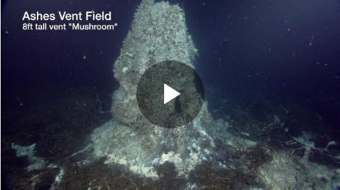
Anyone with an Internet connection can download and view plots of OOI data from all arrays, or watch a live-streaming, high-definition video from a hydrothermal vent 250 miles off the coast of Oregon.
Tales of krakens, whirlpools, and passages to foreign lands have long united people and kindled interest in the mysterious forces of the sea. This year on World Oceans Day and beyond, celebrate by connecting with the ocean live – without even getting wet.
Full StoryCurrent OOI Data Availability
Streaming data from OOI cabled assets (Cabled and Endurance Array) can now be viewed online, in near-real time, through the Data Portal plotting feature. All the data ingested into OOINet continues to be available for plotting in the OOI Data Portal. Please note that ingestion is an early step in the full data flow process and these data have not yet gone through the quality control process. To view what has been ingested, click here to access the operator status tool. Asynchronous downloads of NetCDF files have also been enabled on the OOI Data Portal.
On the OOI Website, links can be found to download raw data sets through an online repository. Please note that in the coming weeks, as we continue to update our raw data delivery mechanisms, these OPeNDAP links may change. Additionally, data sets continue to be downloadable through the THREDDS Server and are now organized by array. Data are currently available for all arrays and include several comprehensive data sets for individual gliders, moorings, and profilers. Live Video from Axial Seamount can be viewed online every 3-hours and previously recorded videos can be downloaded from the archive.
Historical cruise data are available for download from the OOI website. And we continue to provide interim delivery of the Cabled Array seismometer and bottom pressure data through IRIS http://www.iris.edu/hq/. Delivery of Cabled Array tilt meter and co-located temperature plots continue through Dr. Bill Chadwick’s website.
Recent Deployments
Endurance Array maintenance cruise departed Newport OR May 4th on the R/V Thomas Thompson. Over the course of 14 days the crew successfully recovered and re-deployed six surface moorings and one wire-following profiler mooring. Additionally one surface piercing profiler mooring was deployed along with three coastal gliders.

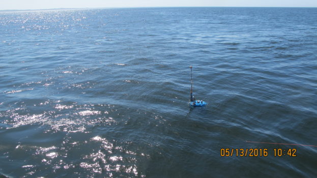
Pioneer Array 6 Cruise on the R/V Neil Armstrong out of Woods Hole Oceanographic Institution was a success with the recovery and re-deployment of Pioneer Array moorings and gliders. The cruise was made up of three legs spanning from May 12th to June 2nd. Separating the cruise into legs was essential to allow for enough space on the ship to house the eight recovered moorings and one glider as well as the nine moorings and four gliders set for deployment. In addition to the infrastructure maintenance activities, two AUVs were tested during the cruise, running missions in the area of the moored array.

