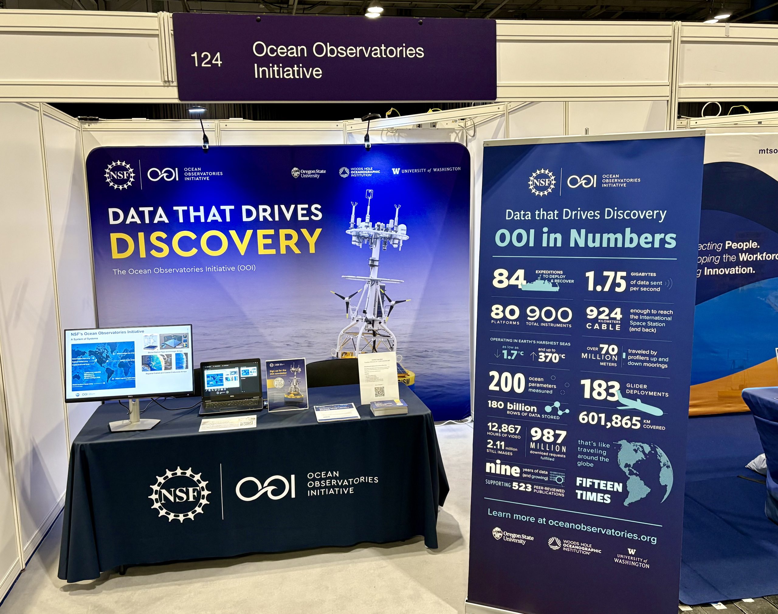
Our Mission
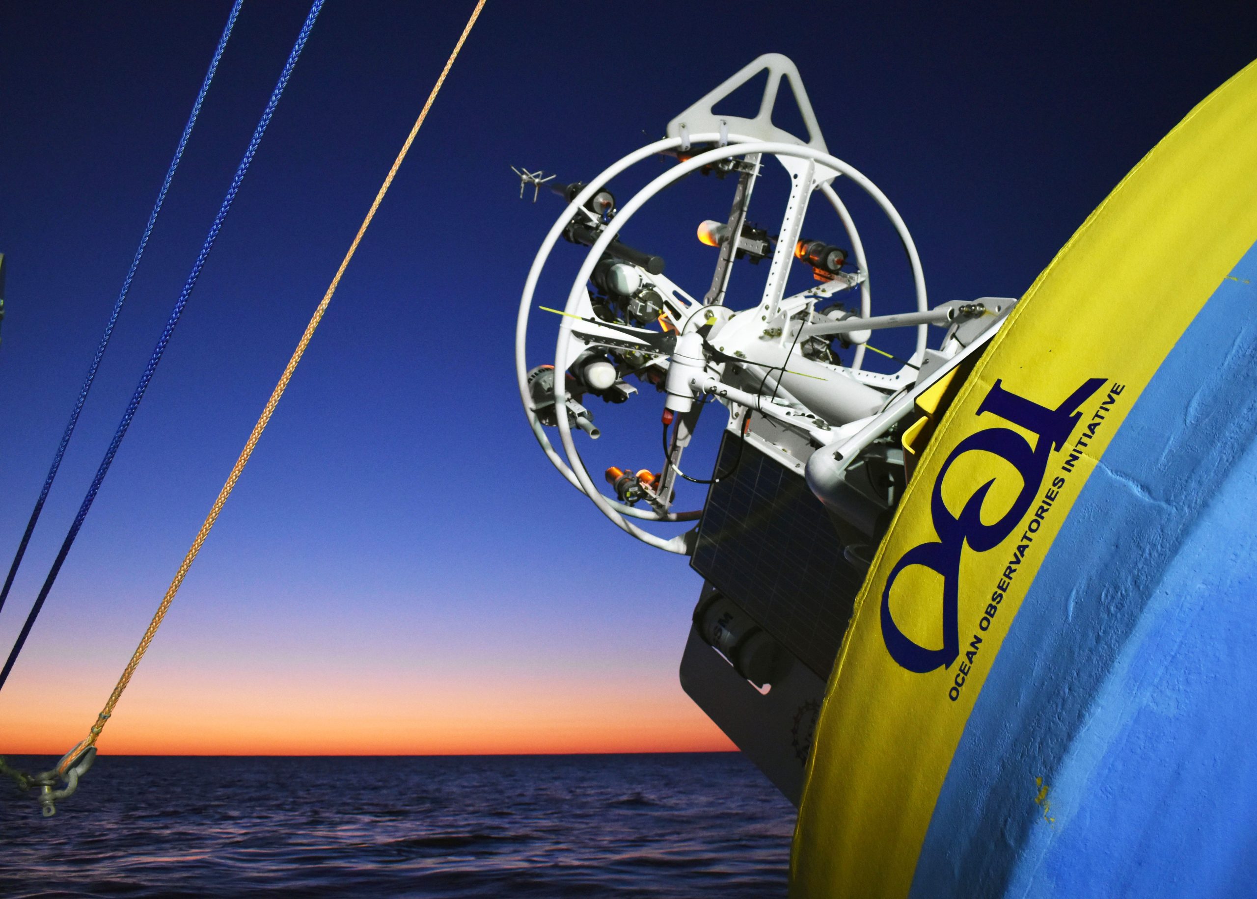
The Ocean Observatories Initiative (OOI), funded by the National Science Foundation, advances understanding of the ocean’s complexity by operating and maintaining cutting-edge instrumentation in some of the most challenging marine environments. Through the delivery of openly accessible, long-term oceanographic data the OOI empowers researchers, decision-makers, educators, students, and the public to better understand the inner workings of the ocean. The initiative fosters innovation by supporting new technology integration, offering infrastructure for collaborative deployments, and providing tools for education and outreach anywhere in the world.
A Visual journey
A Window into the Changing Planet is a short documentary that shows the beauty and fragility of the ocean and explains how scientists, students, and policymakers are using OOI data to determine how the ocean is changing, at what speed, and what it means for the planet.
OOI Updates
Learn about the latest OOI activities and how OOI data are changing the shape of classroom instruction and advancing ocean research.


")


")


")
")

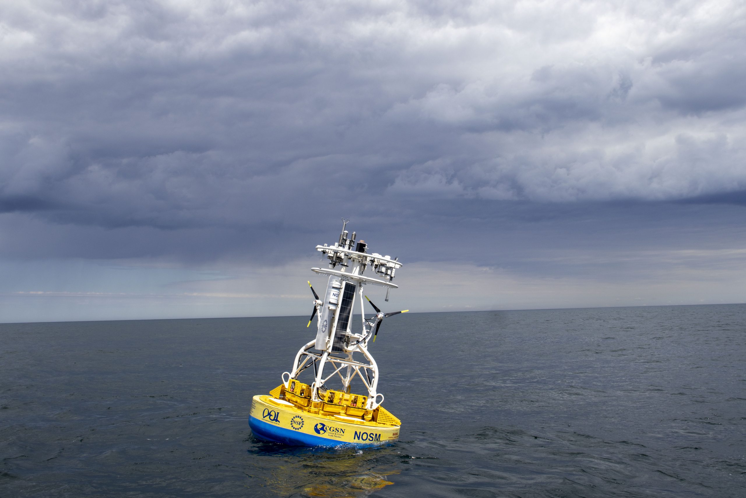
Latest Expeditions
Learn about the latest OOI expeditions that keep the OOI arrays continuously gathering so you have access to real-time ocean data around the clock from your laptop.
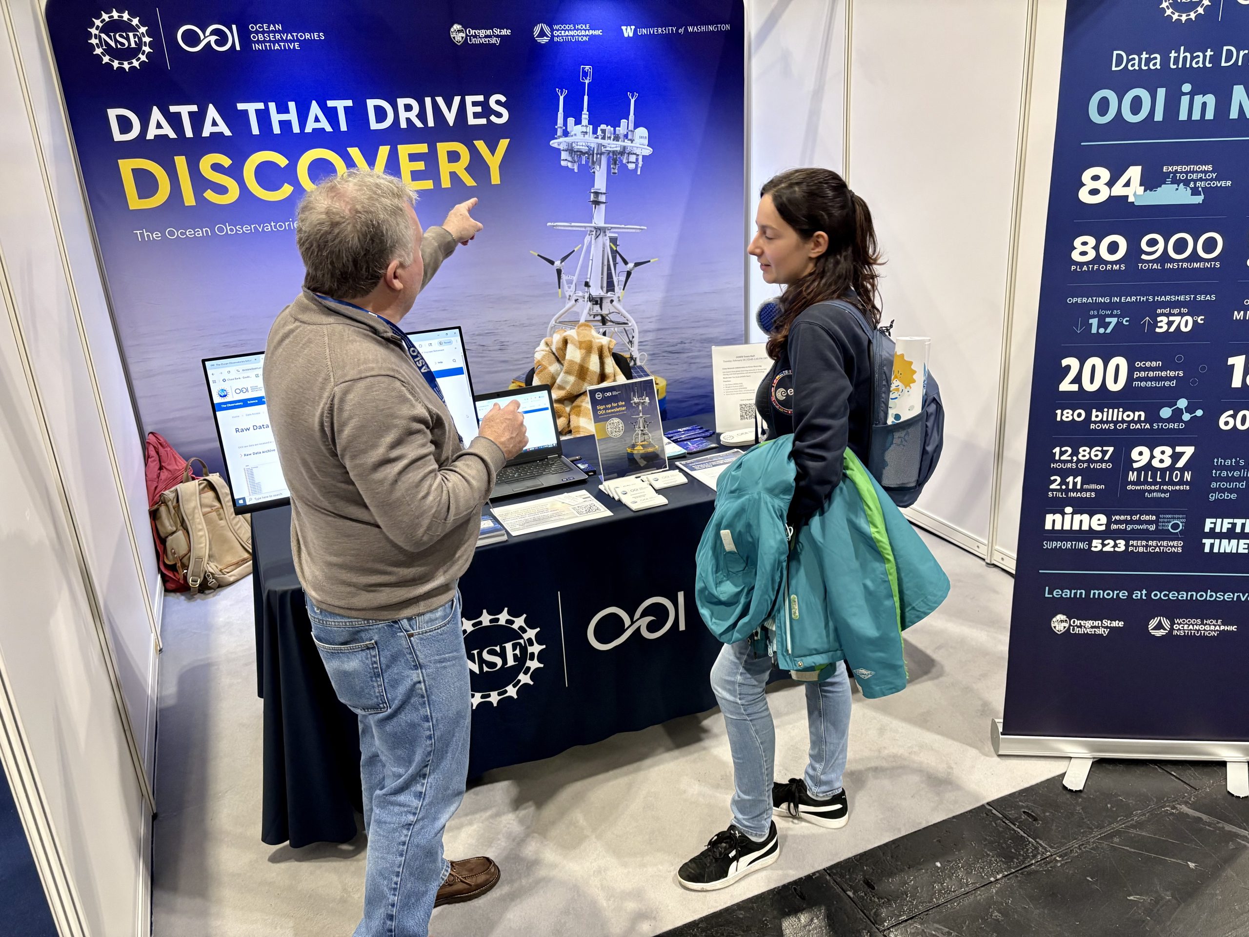
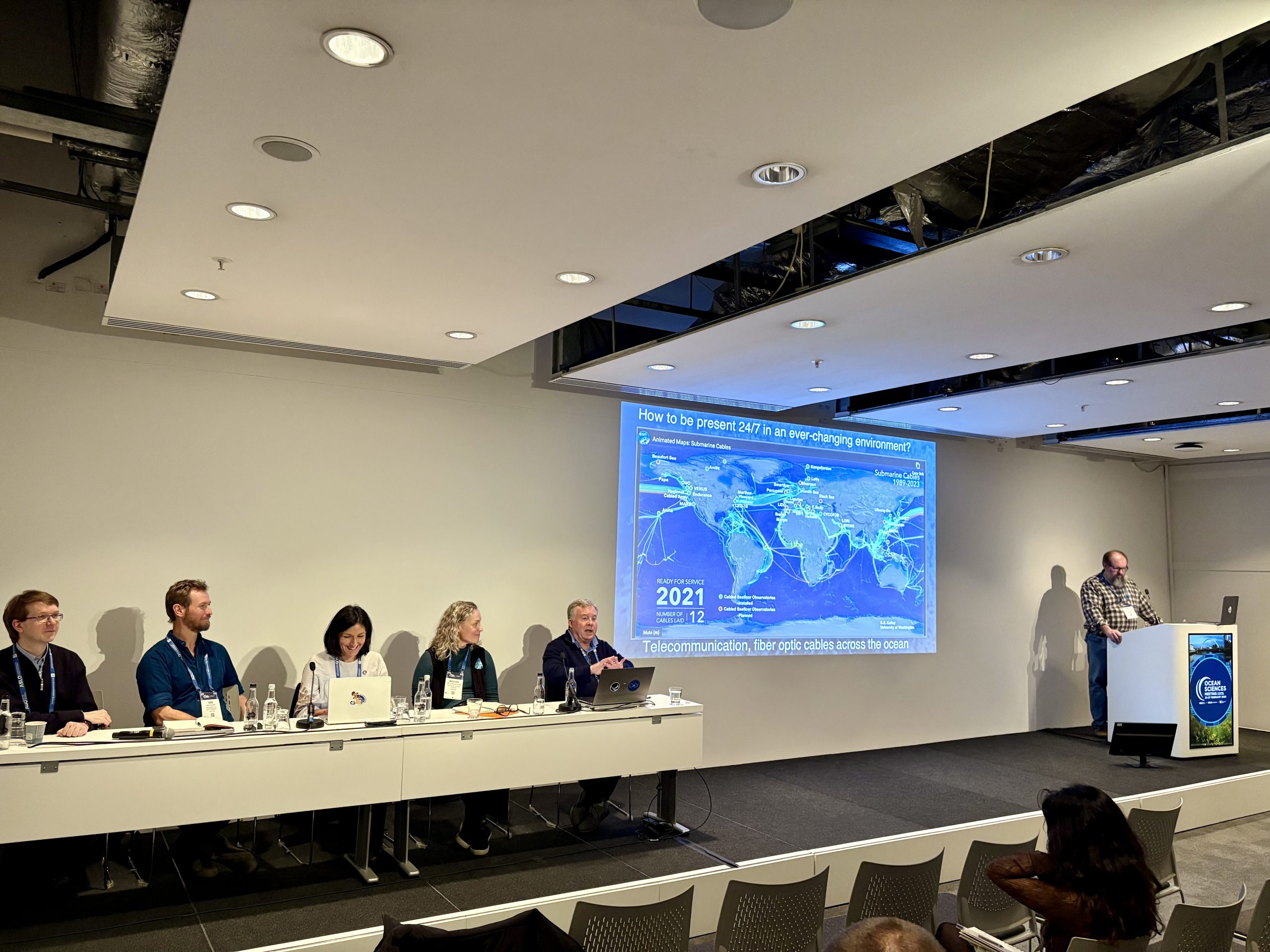
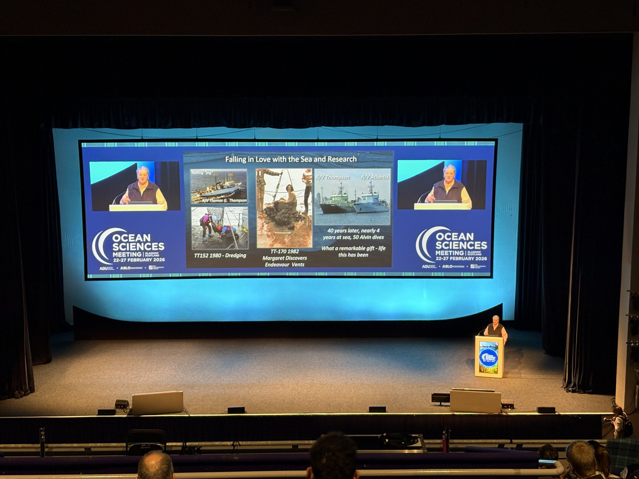
OOI Events

OOI Events
AGU 2026: Long-Term Ocean Observatories as Drivers of Sensor and Data Science Innovation
AGU 2026: AI and Machine Learning for Sustained Ocean Observing: Progress and the Road Ahead
Photo Highlights