
Collaborative Data Partnership Providing Fuller, More Robust Picture of Conditions in Northeast Pacific
A new data initiative involving more than 20 years of oceanographic data from Olympic Coast National Marine Sanctuary (OCNMS) promises to provide scientists and the public with a more robust picture of changing ocean conditions within the sanctuary and Northeast Pacific Ocean.
Funded by the National Oceanic and Atmospheric Administration’s (NOAA) Climate Program Office, a team from Oregon State University is working to make 23 years of sanctuary mooring data and data from CTD (Conductivity, Temperature, and Depth) casts available through publicly accessible data repositories. The three-year project will also combine the sanctuary’s data with complementary data sets in the region, including data from the Ocean ObservatorIes Initiative (OOI) Coastal Endurance Array.
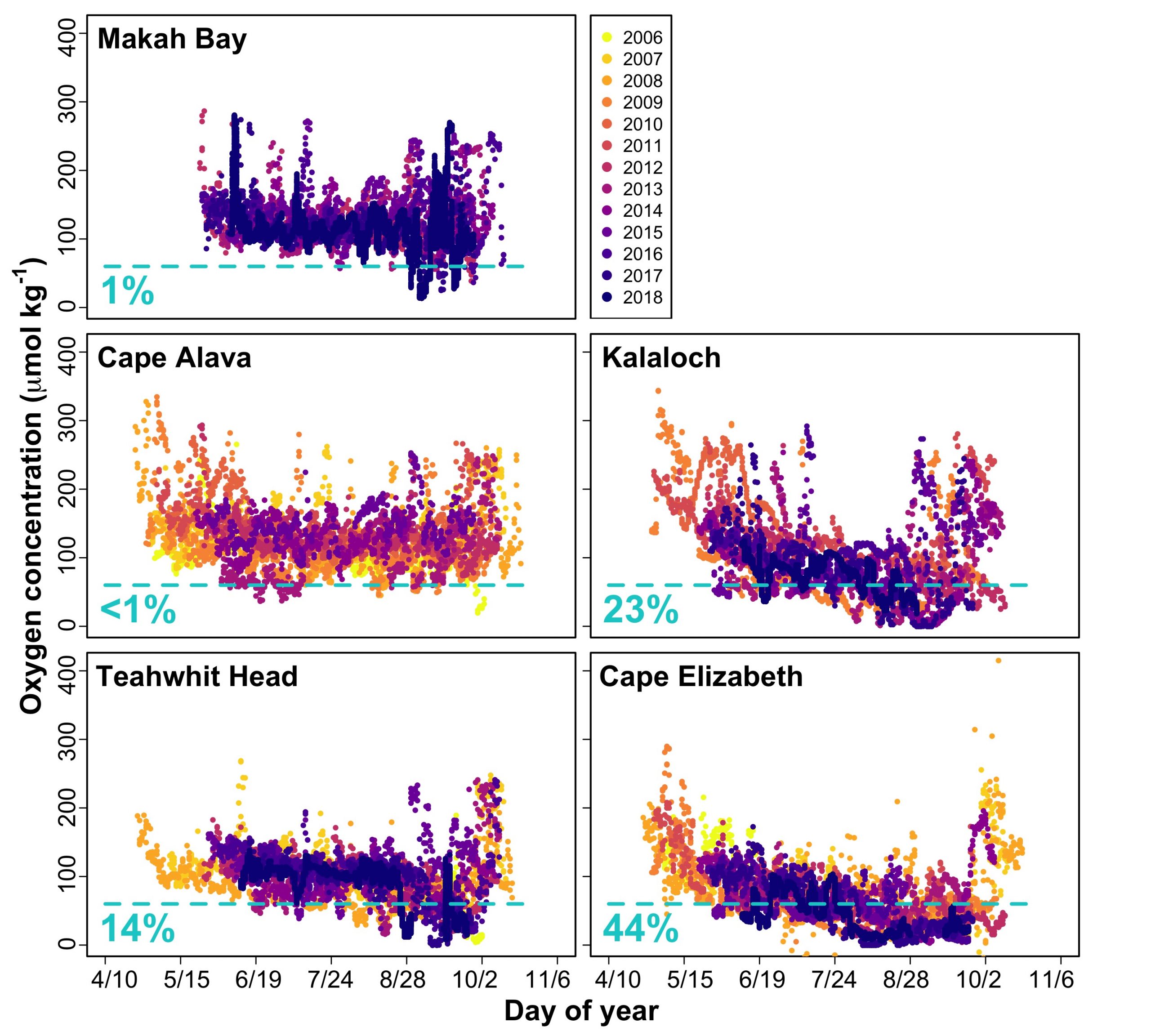
“The OCNMS data are a critically important data set that has not been fully unlocked and represents a treasure chest of information that we’ve only begun to crack open,” said Jenny Waddell, research coordinator at Olympic Coast National Marine Sanctuary and a collaborator on the project. “The data will provide information about marine heat waves, changes in timing of spring transition to upwelling, seasonal hypoxia, and ocean acidification, all of which will help improve the management of marine resources in the sanctuary.”
Olympic Coast National Marine Sanctuary, along Washington State’s outer coast, represents one of North America’s most productive marine ecosystems. An area of summertime upwelling of cold nutrient-rich waters, the sanctuary hosts a diverse ecosystem that is home to many commercially and culturally important fisheries.
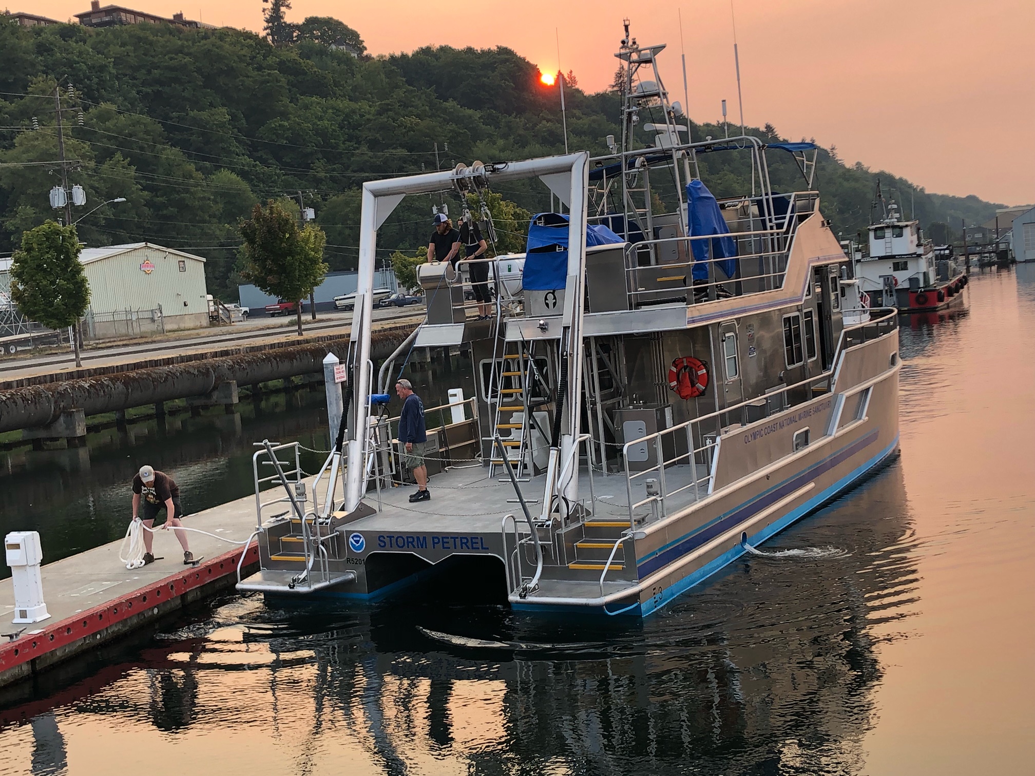
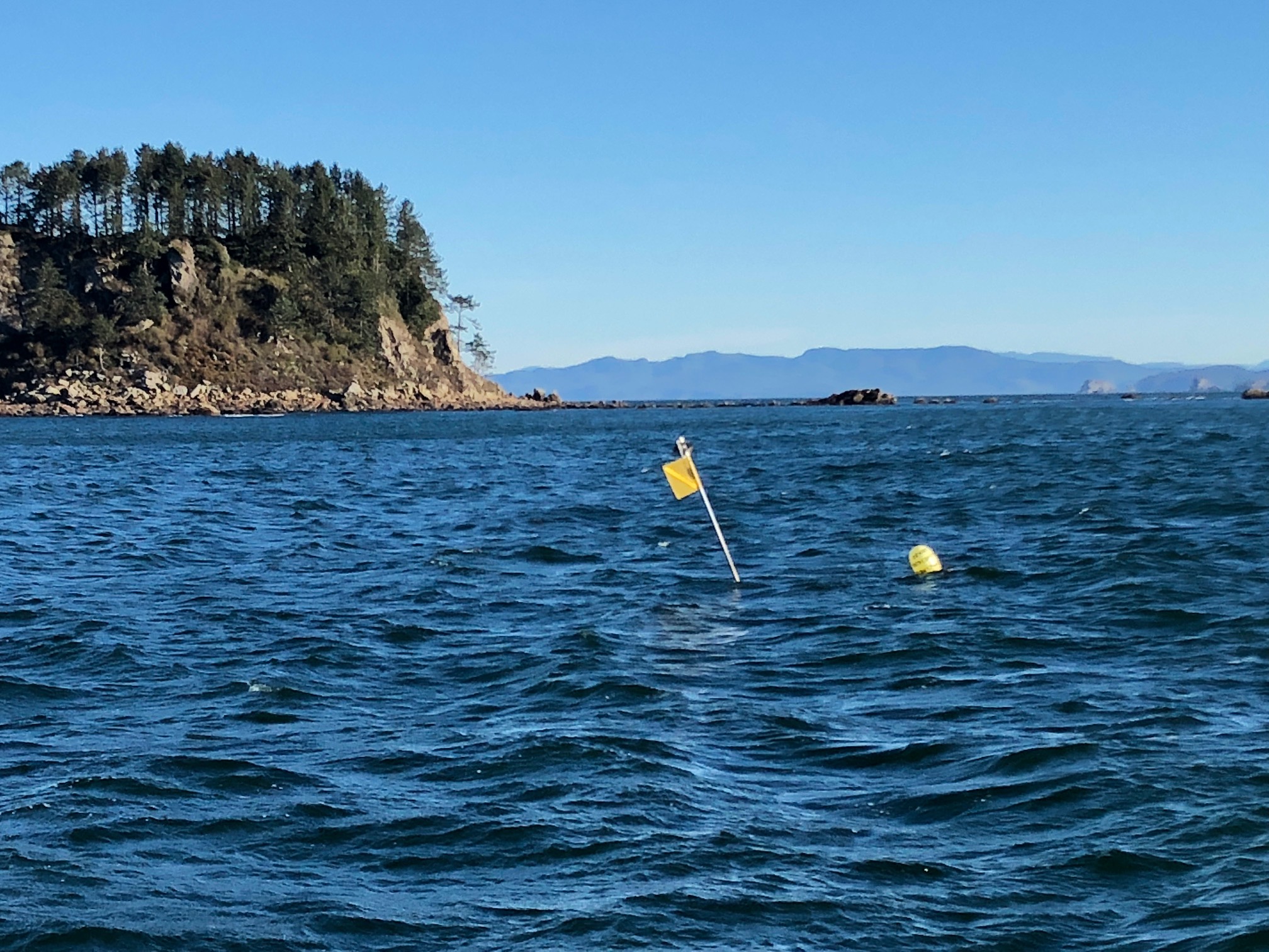
Collected by 10 oceanographic moorings, the process of taking 23 years of the sanctuary’s quality-controlled data (water temperature, salinity, density, spiciness, velocity, and dissolved oxygen concentration) and meshing them with data from 700 CTD casts is a huge undertaking that will be conducted in multiple steps. The first step was the handover of all processed and raw data by the sanctuary to data experts Brandy Cervantes and Craig Risien at OSU. The data experts, who are Co-PIs on the NOAA project, are going through all the data and reprocessing where necessary to make sure that all the data are interoperable. The high-resolution CTD data are of particular interest, having never been made widely available before. These data will provide information about the water column to complement and validate the data collected by the instruments on the moorings.
OOI’s Contribution
The Coastal Endurance Array’s Washington Inshore mooring is the shallowest of the three OOI moorings off Washington State and lies just inside the sanctuary’s southern boundary. This location helps provide an in-depth look at ongoing conditions nearer the coast. While the other two Endurance Array moorings off Washington State are farther offshore and to the south, not formally within the sanctuary boundaries, they provide valuable year-round data, which are particularly helpful for context on conditions farther offshore from the sanctuary and for regional forecasting and prediction efforts of ocean conditions. Sanctuary moorings are seasonal, collecting data when they are deployed in May through the first week of October when they are recovered, except for a single overwintering mooring, so OOI data also provide important year-round context for OCNMS.
“Data from the other two Endurance Array moorings not within the sanctuary boundary are equally valuable, not just for prediction purposes, but to our tribal partners. A unique thing about the Olympic Coast National Marine Sanctuary is that nearly the entire sanctuary is within the Usual and Accustomed Fishing Areas of the four coastal treaty tribes in Washington — the Hoh Tribe, Makah Tribe, Quileute Tribe, and the Quinault Indian Nation. The sanctuary and OOI-derived data are particularly valuable to the Quinault Tribe, who use these data to estimate fish runs. They have found, for example, that our oxygen data are a good predictor of the Coho salmon run size in some of the coastal rivers,” Waddell explained.
Olympic Coast Data Applications
Sanctuary data are the foundation of the LiveOcean model, an ongoing project of the University of Washington Coastal Modeling Group that provides short-term (three-day) forecasts of ocean conditions—currents, temperature, salinity and biogeochemical fields such as harmful algal blooms. Sanctuary data also are incorporated in the J-SCOPE model, operated by the Northwest Association of Networked Ocean Observing Systems (NANOOS), for seasonal (six to nine month) forecasts of ocean conditions that are relevant to management decisions for fisheries, protected species, and ecosystem health.
Sanctuary and OOI data also serve as the basis for novel estimates of pre-industrial and near future (2030–2050) ocean acidification conditions on the Olympic Coast led by NOAA Pacific Marine Environmental Laboratory ocean carbon scientists. These estimates are made possible by rich NOAA Ocean Acidification Program-funded coastal observing efforts and inform state and tribal fisheries and water quality management (cf. Alin et al. 2023 in press).
Changing Conditions
“In the 23 years that we’ve been collecting data, we have been documenting changing ocean conditions that are quite alarming,” said Waddell. The 465-page latest Condition Report for the Sanctuary details how ocean conditions along the Olympic Coast continue to change and intensify in response to climate change. The report lays out concerns about the impacts from ocean acidification, warming ocean temperatures, increased stratification, rising sea levels, and declines in dissolved oxygen, in addition to the intermittent occurrences from more intense and frequent marine heatwaves, harmful algal blooms, and coastal storms.
To help bring this information to the public, the sanctuary has developed a user-friendly and searchable graphic interface that provides easy access to data within the report. Called the Web Condition Report (WebCR), the interface is designed to connect people with information they are interested in.
The Principal Investigator (PI) for this project is College of Earth, Ocean and Atmospheric Science (CEOAS) Oregon State University (OSU) Associate Professor Melanie R. Fewings. Co-principal Investigators are Craig M. Risien, OSU Senior Faculty Research Assistant II and OOI Cyberinfrastructure Project Manager; Co-Principal Investigator Brandy T. Cervantes, OSU Senior Research Associate.
In addition to the PIs and NOAA’s Waddell, other collaborators include Dr. Simone Alin, NOAA Pacific Marine Environmental Laboratory, Katie Wrubel, Resource Protection Specialist, OCNMS, Joe Schumacker, Marine Resources Scientist, Quinault Indian Nation, Dept. of Fisheries, Tommy Moore, Oceanographer, Northwest Indian Fisheries Commission, Charles Seaton, Senior Oceanographer, Columbia River Inter-Tribal Fish Commission, Kym Jacobson, Research Zoologist, NOAA Northwest Fisheries Science Center, Jennifer Fisher, NOAA Cooperative Institute for Marine Ecosystem and Resources Studies, OSU, and Maria Kavanaugh, Assistant Professor, CEOAS, OSU, and Principal Investigator of the Marine Biodiversity Network.