Tenth Refresh of the Irminger Sea Array
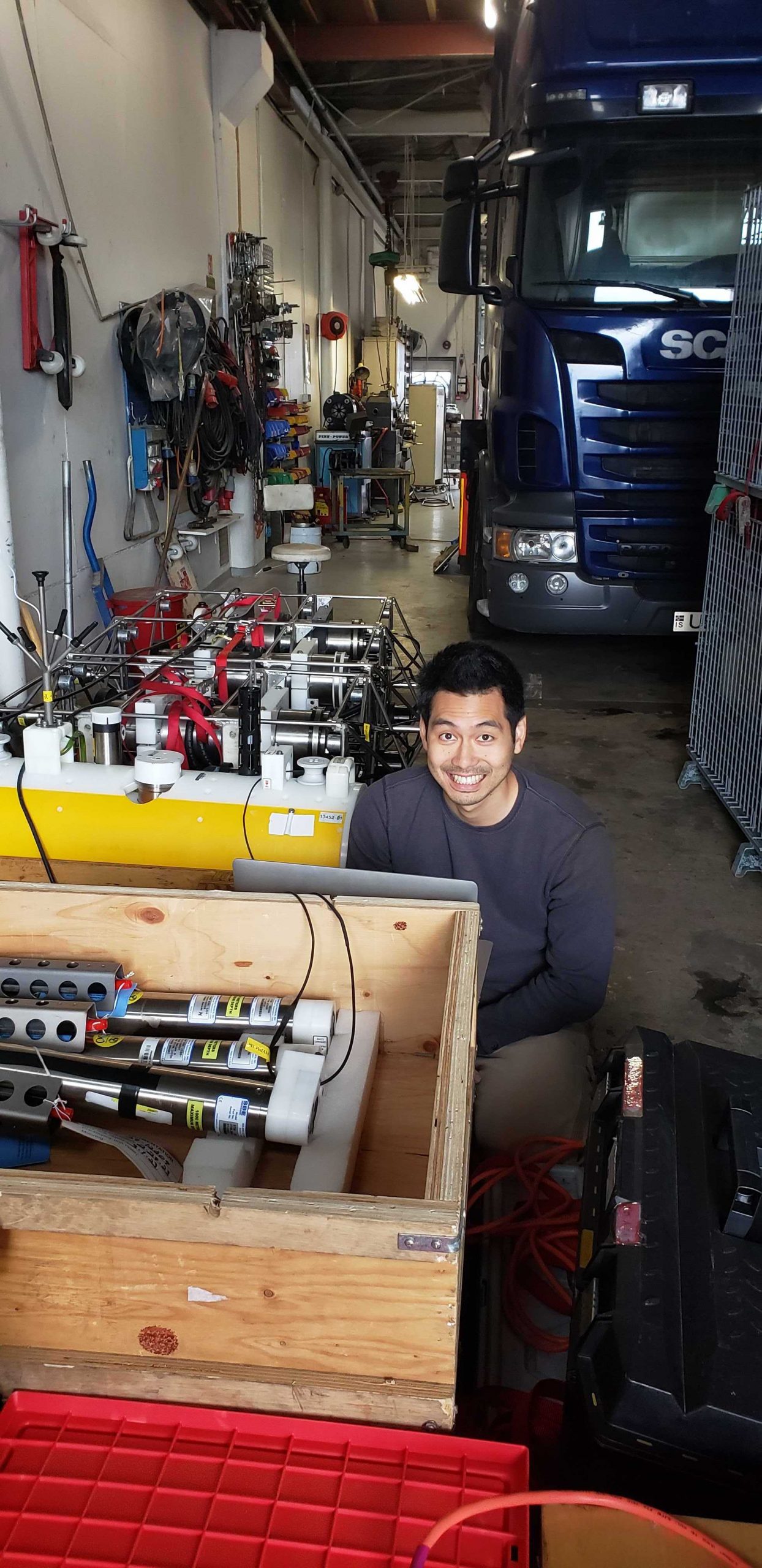
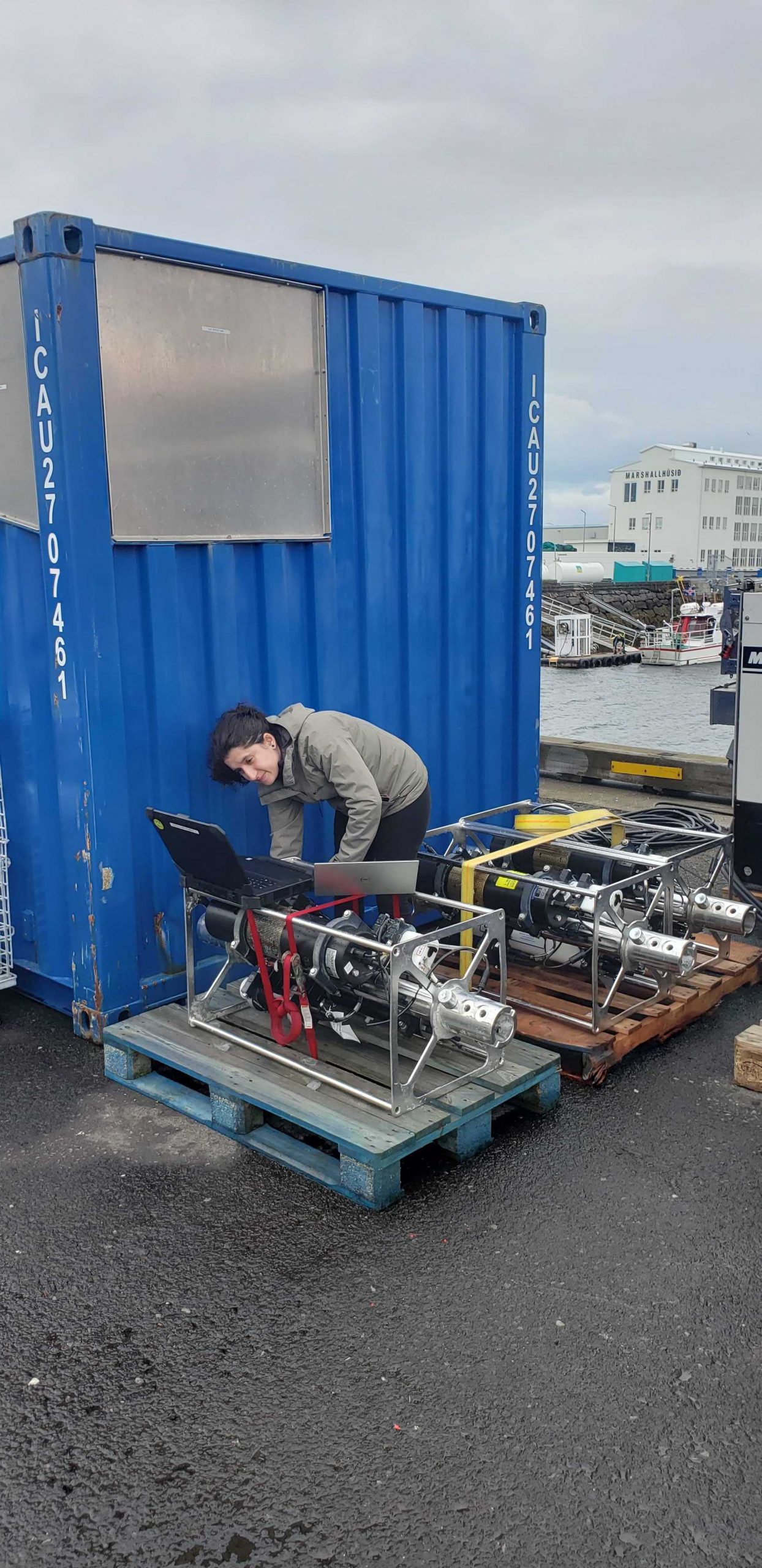
On August 27th, a team of 13 scientists and engineers boarded the R/V Neil Armstrong in Reykjavik, Iceland to head to the Irminger Sea Array. Most of the array’s infrastructure and instrumentation was shipped from Woods Hole Oceanographic Institution (WHOI) in mid-July to Iceland, where it arrived in mid-August. Part of the scientific party traveled to Reykjavik in mid-August to reassemble the moorings and conduct a “burn-in,” a test period for the power, data, telemetry, and instrument systems to ensure everything is operational prior to loading the vessel.
The Irminger Sea Array is in a region with high wind and large surface waves in the North Atlantic and is one of the few places on Earth with deep-water formation that feeds the large-scale thermohaline circulation. Data collected by the Irminger Sea Array are providing critical insights into circulation patterns, ocean processes, and possible climate-induced changes occurring in this important oceanic area.
After an ~ two-day transit (550 nautical miles) to the array site off the tip of Greenland, the team will recover and deploy four moorings and three gliders over the next two and a half weeks. They will conduct CTD (conductivity, temperature, and depth) casts at the deployment/recovery sites and carry out shipboard sampling for field validation of the platforms and sensors that will remain in the water for the next year.
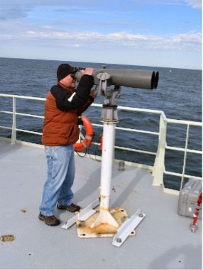
In addition to the recovery and deployment operations, the team will be conducting some CTD calibration casts in support of OSNAP-GDWBC (Overturning in the Subpolar North Atlantic Program-Greenland Deep Western Boundary Current). A participant from the National Oceanic and Atmospheric Administration will also be on board using “Big Eye” binoculars mounted on a forward deck to make observations of marine mammals during the transit and in the Irminger Sea.

The Irminger Team will also be testing out some equipment modifications on this deployment. One change is an updated satellite telemetry system. This system would provide higher bandwidth allowing better and quicker data transmission from the global surface mooring potentially saving power, and better remote command and control of the mooring systems. Another change is a revised mounting scheme for the glider optode, which measures dissolved oxygen concentrations in the water column. The new mount may provide better in-air measurements during glider surfacing. The in-air measurements allow scientists to characterize the changing accuracy of the instrument over time.
“It’s always a challenge to get ready for this month-long expedition to this remote, but critical region, but we are ready and eager to get there,” said John Lund, Chief Scientist for Irminger 10. “We are pleased to play a part in collecting data that scientists are using to better understand changes occurring in this region, with implications for both weather and climate.”
The team will reporting regular updates from the field. Bookmark this page so you can follow along on their progress.


