Water Sample Data Available thru BCO-DMO Repository
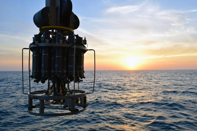
Hydrographic sampling performed by the Ocean Observatories Initiative (OOI) as part of each Array turn represents a significant collection of valuable physical, chemical, and biological information. In addition to the CTD (conductivity, temperature, depth) casts themselves, collected hydrographic data from bottle samples include discrete oxygen, salinity, nutrients (nitrate, nitrite, silicate, phosphate, ammonium), chlorophyll, and carbon system measurements. These data are subsequently merged into a concatenated “discrete summary” file with quality assessment flags and an associated readme file detailing important notes about the data. Although the primary purpose of these data are for the evaluation and validation of deployed OOI instrumentation, the annual (Global) or biannual (Coastal) collection of data at the same locations provides a unique time series of water properties following established community standards and methods.
Currently, OOI discrete water sampling data are made available via the OOI Alfresco Web Document Server and via the OOI Data Explorer. Water sampling data served through these platforms are organized so each dataset represents a single cruise at a specific Array.
Recent efforts within the ocean observing community have focused on improving FAIR (Findable, Accessible, Interoperable, Reusable) Data practices from programs and projects, such as the Marine Ecological Time Series (METS-RCN)-hosted international workshop on FAIR Data Practices for Ship-based Ocean Time Series. As part of the OOI’s effort to improve FAIR data practices, OOI is working with the Biological & Chemical Oceanography Data (BCO-DMO) Management Office to make the water sampling data collected during OOI operation and management cruises available via the BCO-DMO website and database. BCO-DMO curates publicly available research-ready oceanographic data in accordance with FAIR data principles.

Re-distributing OOI data through BCO-DMO will enhance the FAIR qualities of OOI Discrete CTD and water sample data by: (1) providing a robust version control strategy that assigns DOIs (Digital Object Identifiers) as these datasets are updated; (2) making the data available to a larger audience, for use in novel science research beyond the intended scope of instrument validation; (3) concatenating the cruise-by-cruise data into a single dataset that is more readily available for analysis; and (4) providing machine-to-machine interoperability by making data available through an ERDDAP server.
Starting from the BCO-DMO home page, OOI water sampling data will be available as part of the “OOI Program Page” as the project “OOI Discrete CTD and Water Sampling Cruise Data.” Within the BCO-DMO data management system, water sampling data for each array will be organized into a single, concatenated data table. For example, the OOI Argentine Basin CTD and Water Sampling Data, which spans all four Argentine Basin mooring turn cruises (AT26-30, AT39-03, NBP1510, NBP1609) from 2015-2018, are currently available here.
This distribution of OOI data is but one example of OOI’s continuing quest to make its data available in multiple ways so that the data are broadly used to advance understanding of ocean processes.

