Pioneer Array Operational at MAB
A move is declared
Months of toil undertaken
This day it is done
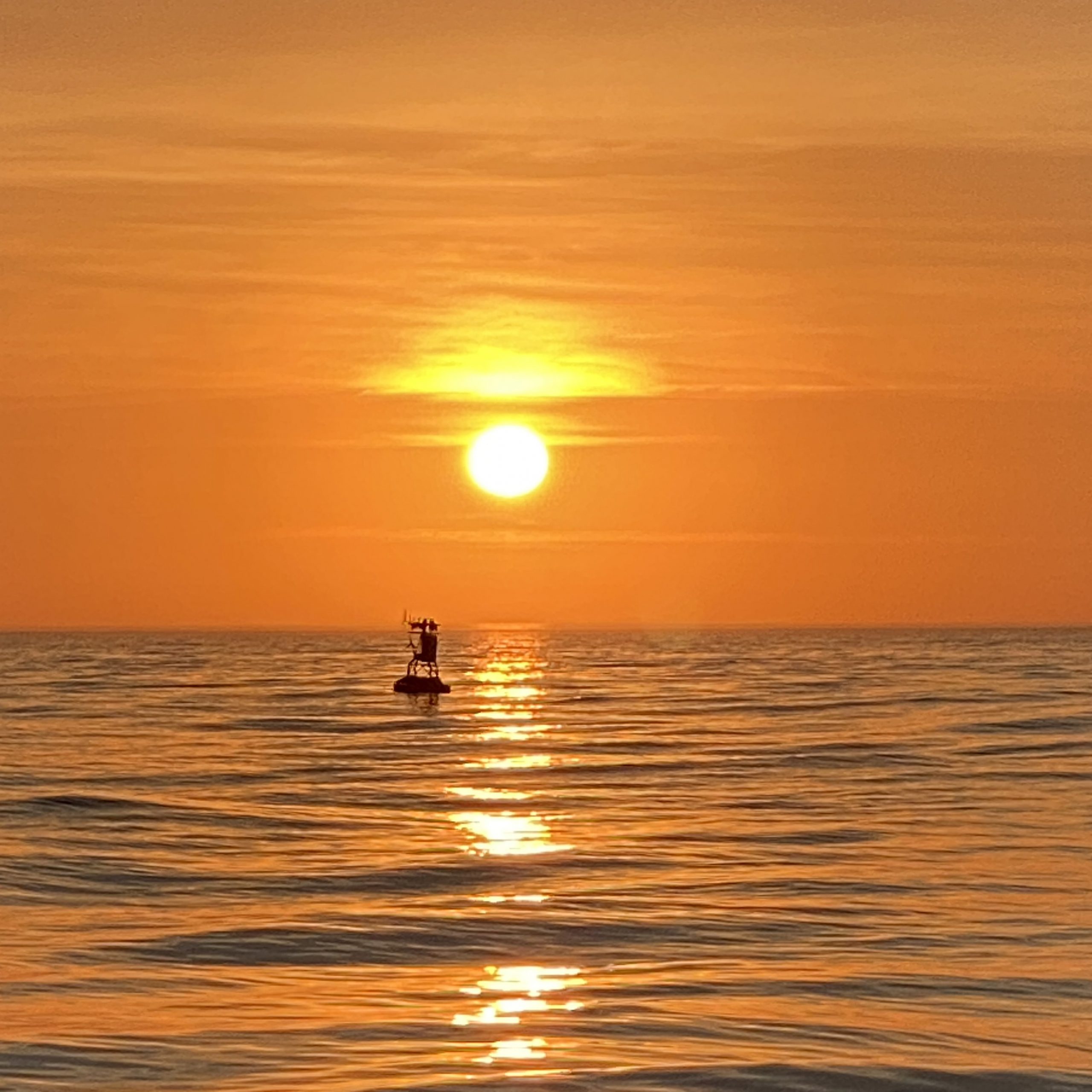
Coastal and Global Scale Nodes (CGSN) Principal Investigator Al Plueddemann penned the haiku above in recognition of the successful installation of the Pioneer array at its new location in the Mid-Atlantic Bight (MAB) on April 17, 2024. This momentous occasion occurred on Haiku Wednesday, which prompted the poetic marking of a three-year effort to have the array deployed and telemetering data from the MAB.
The relocation of the Pioneer Array from its former location off the New England Shelf (NES) to its new location was a multi-tiered process. The National Science Foundation (NSF) joined forces with the Ocean Observatories Initiative Facility Board (OOFIB) to host a series of workshops in 2021 to elicit community input on where a relocated Pioneer Array might best meet science and educational needs. Based on input from these community workshops, the NSF gave its approval to the MAB site and the process was launched.
“Completing installation of the Pioneer Array in the MAB was the culmination of three years of preparation, which began with planning workshops in 2021, the recovery of the NES array in 2022, and engineering, procurement, and testing in 2023,” said Plueddemann, who also served as the Chief Scientist aboard the R/V Neil Armstrong for the first deployment of the array in the MAB. “It took an incredible effort from the whole CGSN Team to address all the considerations in moving the array to its new location. It is gratifying to see the successful deployment, with new, multidisciplinary data now available from this important oceanic region.”

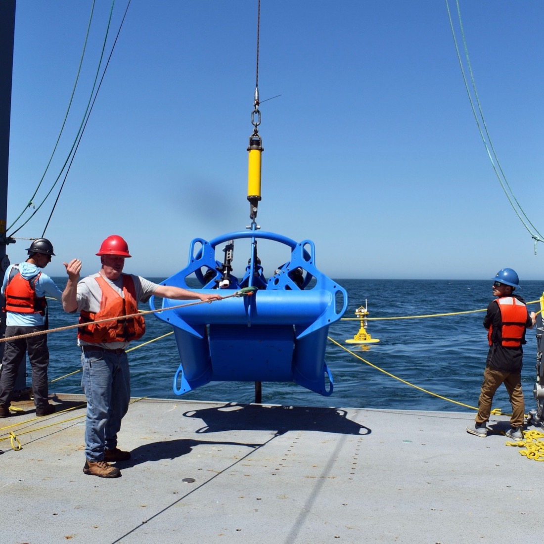
The primary objectives for the April cruise included installation of three surface moorings, five profiler moorings, and two newly designed shallow water moorings. The moorings create the backbone of MAB Array, a frontal-scale, T-shaped array located off the coast of Nags Head, North Carolina, starting ~25 km offshore and extending ~50 km east/west and ~50 km north/south across the continental shelf. The ten moorings occupy seven sites; three sites contain both a surface mooring and a profiler mooring. In order to provide synoptic, multi-scale observations of the outer shelf, shelf break, and continental slope, the moored array is supplemented by four gliders and two AUVs. The gliders operate for 45-90 days at a time, provide transects along and across the shelf, and monitor the mesoscale field of the slope sea. The AUVs are deployed and recovered from the ship over a ~24 hr period and provide synoptic across- and along-front “snap shots” of the frontal region.

Once the deployment was in place, the team turned its attention to additional expedition objectives, including a bathymetry/sub-bottom survey of a potential alternate Western mooring site, and cross-shelf and along-shelf CTD (conductivity, temperature, and depth) transects. Once those were completed, the team headed home aboard the R/V Neil Armstrong to its home port in Woods Hole, MA where they were heartily greeted for a job well done.

A review of the day-to-day operations to install the Pioneer Array in the Mid-Atlantic Bight m can be found here.
