
Hot Wash: Pioneer-Adjacent PIES Deployments
RAPID: A Cost-Effective Approach for Characterizing Variability at High Temporal Resolution for Long Duration on the Continental Slope of the Southern Mid-Atlantic Bight
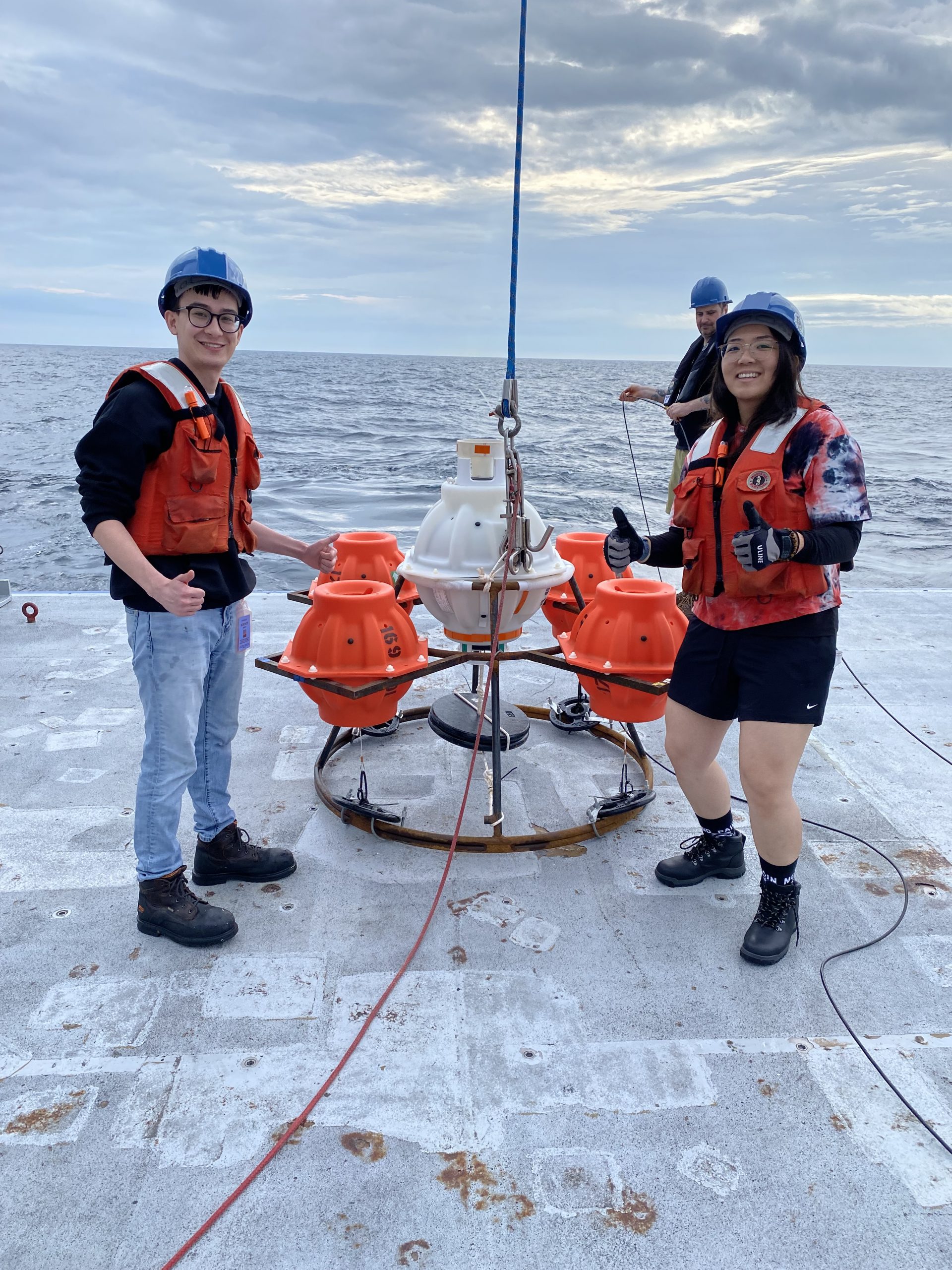
Two popeye data shuttle-enabled current and pressure sensor equipped inverted echo sounders (PDS-PIESs, Figure 1) were successfully deployed on the continental slope east of the U.S. National Science Foundation Ocean Observatories Initiative (OOI) Pioneer Array in the southern Mid-Atlantic Bight in June 2024. Data collected during the 4-year deployments will be shared broadly when PDS pods ascend annually to the sea surface and return data batches via a satellite link.
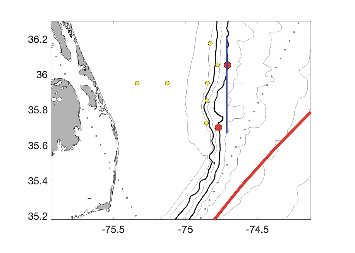
The scientific motivation is to (1) capture mesoscale variability offshore of the Pioneer Array, (2) capture western excursions of the Gulf Stream North Wall that may influence ocean-shelf exchange, and (3) observe the upper portion of the equatorward-flowing Deep Western Boundary Current where it squeezes under the poleward flowing Gulf Stream. The PDS-PIESs were deployed on the 1000 m isobath 40-km apart to extend the Pioneer Array mooring footprint offshore and to allow comparison with a glider which is running a line (nominally) along the 1000 m isobath (Figure 2).
Cruise RR2407 was supported through the Office of Naval Research through the National Ocean Partnership Program Global Internal Wave (NGIW) study and provided at sea experiences for four MIT/WHOI Joint Program students and four undergraduates from the University of Massachusetts Dartmouth as part of their Blue Economy Program with WHOI. Many thanks to the National Science Foundation Division of Ocean Sciences for funding the PDS-PIES deployments and to engineer Erran Sousa from the University of Rhode Island who provided emergency shoreside support (on a Saturday!) to walk us through the PDS setups.