Mobile Assets (CE05MOAS)
An array of ~6 gliders travels along five east-west transect lines within the Coastal Endurance Array from approximately the 20-m isobaths to 126 W (and out to 128 W along the Oregon and Washington lines), as well as a north-south transect along 126 W.
Platform DOI and Citation Guidance
OOI assigns Digital Object Identifiers (DOIs) at the platform or site level. The DOI for the Coastal Endurance Array Mobile Assets is 10.58046/OOI-CE05MOAS.
The minimum recommended citation for this platform is:
NSF Ocean Observatories Initiative. (2014). Coastal Endurance Array Mobile Assets, DOI: 10.58046/OOI-CE05MOAS.
This follows the format NSF Ocean Observatories Initiative. (Year Published). Platform title, DOI: Platform DOI, where Year Published is the year OOI data collection began at the site.
We encourage data users to incorporate full citations when referencing OOI data in order to support FAIR data principles and data traceability. OOI also provides further guidance on citations, including information on adding specific data products and data access points to citations.
Data Access
The following links provide data access via Data Explorer or other methods:
- Direct access to the data on this platform and its subcomponents
- General access to OOI data using a variety of methods
Platform Description
An array of ~6 gliders travels along five east-west transect lines within the Coastal Endurance Array from approximately the 20-m isobaths to 126 W (and out to 128 W along the Oregon and Washington lines), as well as a north-south transect along 126 W.
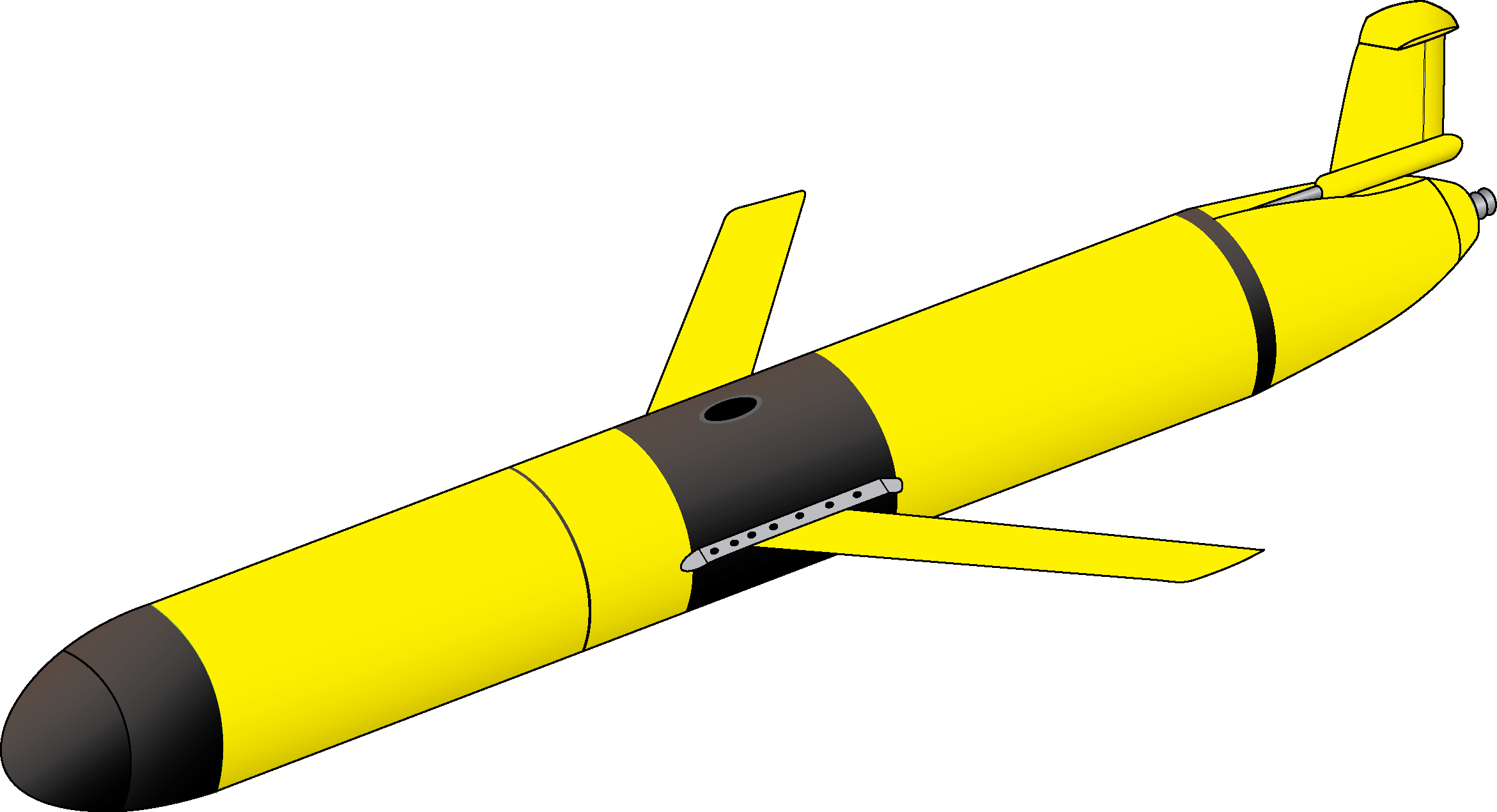
Coastal Gliders (Teledyne-Webb Slocum Gliders) fly through the water column along saw-tooth paths, penetrating the sea surface and diving down to depth. These Coastal Gliders are outfitted with one of two buoyancy engines allowing for maximum efficiency for either shallow (able to dive to 200 m) or deep (able to dive to 1000 m) dives. A roughly even combination of deep and shallow diving coastal gliders have been deployed, sufficient to survey the Endurance Array area.
Gliders are buoyancy-driven mobile assets. They change their buoyancy by drawing in water through their nose making their front end heavy causing them to sink through the water. To float back up to the surface, they push the water out. Their wings provide lift allowing the gliders to move forward as they change depth. Due to their efficient design, with no need for propellers or an engine, gliders can be deployed for several months at a time.
Instruments
This site/platform includes the following instruments. To learn more about an instrument type, select the instrument class-series. To access relevant data streams for an instrument, the instrument code will take you to the OOI Data Portal.
| Instrument Code | Depth | Node | Instrument Class-Series |
Make & Model |
|---|---|---|---|---|
| CE05MOAS-GLnnn-02-FLORTM000 | 0 to 1,000 meters | Coastal Glider nnn | 3-Wavelength Fluorometer (FLORTM) | WET Labs - ECO Puck FLBBCD-SLK |
| CE05MOAS-GLnnn-05-CTDGVM000 | 0 to 1,000 meters | Coastal Glider nnn | CTD (CTDGVM) | Sea-Bird - SBE Glider Payload CTD (GP-CTD) |
| CE05MOAS-GLnnn-04-DOSTAM000 | 0 to 1,000 meters | Coastal Glider nnn | Dissolved Oxygen (DOSTAM) | Aanderaa - Optode 4831 |
| CE05MOAS-GLnnn-00-ENG000000 | 0 to 1,000 meters | Coastal Glider nnn | Mobile Asset Controller (ENG000) | Teledyne Webb - G2 Slocum Gliders |
| CE05MOAS-GLnnn-01-PARADM000 | 0 to 1,000 meters | Coastal Glider nnn | Photosynthetically Active Radiation (PARADM) | Biospherical Instruments - QSP-2155 |
| CE05MOAS-GLnnn-03-ADCPAM000 | 0 to 1,000 meters | Coastal Glider nnn | Velocity Profiler (600kHz) (ADCPA) | Teledyne RDI - Explorer DVL 600 kHz |
Equipment Diagram