
Posts Tagged ‘OSU’
Exploring OSU’s Ocean Observatories Initiative Through Virtual Reality
Students and faculty at the Oregon Institute of Marine Biology (OIMB) had the opportunity to participate in a 360-degree virtual reality (VR) tour of Oregon State University’s (OSU) U.S. National Science Foundation’s Ocean Observatories Initiative (OOI) Ocean Observing Center in Corvallis. Led by Dr. Jonathan Fram, co-PI and project manager for the OOI Endurance Array, the tour provided an in-depth look at the advanced instruments and systems used to study the ocean’s physical, chemical, geological, and biological processes.
Hosted remotely, the tour allowed participants at OIMB to engage with the facility through live-streamed video, filmed using cutting-edge VR technology by Darryl Lai from OSU Productions. This immersive format enabled attendees to explore the facility virtually and ask real-time questions, making it an accessible and informative experience.
The event was complemented by guest lectures from visiting oceanographers Dr. Léo Mahieu and Dr. Mareike Körner, postdoctoral researchers from OSU’s College of Earth, Ocean, and Atmospheric Sciences (CEOAS). They shared insights about their research and career trajectories, offering inspiration and guidance to students interested in oceanography.
This unique event showcased the innovative tools and collaborative efforts that the OOI is using to advance modern ocean research. Check out the recording of the OSU/OOI tour here.
Read MoreNational Science Foundation Renews OOI for Another Five Years
The National Science Foundation (NSF) announced that it has awarded a coalition of academic and oceanographic research organizations a second, five-year contract to operate and maintain the Ocean Observatories Initiative (OOI). The coalition, led by the Woods Hole Oceanographic Institution (WHOI), and including the University of Washington (UW) and Oregon State University (OSU), will continue operations of the OOI, a science-driven ocean observing network that delivers real-time data to address critical science questions regarding the world’s oceans.
WHOI has led the operations and management aspects of the OOI since 2018 and will continue to serve as the home for the next five years of the OOI Project Management Office, led by Principal Investigator James B. Edson and Sr. Program Manager Paul Matthias.
The OOI collects and serves measurements from more than 900 autonomous instruments on the seafloor and on moored and free-swimming platforms that are serviced during regular, ship-based expeditions to the array sites. Data from each instrument are transmitted to shore and are freely available to users worldwide, including scientists, policy experts, decision-makers, educators, and the public.
Under this new $220 M investment, each institution will continue to operate and maintain the portion of OOI assets for which it is currently responsible: WHOI will operate the Pioneer Array in the mid-Atlantic Bight off the North Carolina coast, subject to environmental permitting, and the Global Arrays in the Irminger Sea off the southern tip of Greenland and at Station Papa in the Gulf of Alaska; UW will operate the Regional Cabled Array that extends across the Juan de Fuca tectonic plate and through the overlying ocean; and OSU will operate the Endurance Array off the coast of Washington and Oregon. OSU also houses and operates OOI’s Data Center that ingests and delivers all OOI data.
“OOI has proven to be an exceedingly valuable source of information about the ocean,” said NSF Program Officer for OOI George Voulgaris. “Its freely available data are contributing to better understanding of ocean processes and how the ocean is changing. Scientists are using OOI data as the source of cutting-edge scientific discoveries—everything from getting close to predicting underwater volcanic eruptions to changing ocean circulation patterns that have real life implications for weather and fishing patterns. OOI data also are serving as inspiration for students in the classroom, who are excited about learning about the ocean with access to real-time ocean data. We at NSF are proud of our continued investment in making these data available.”
“WHOI is honored to have been selected to continue the mission of the OOI, which is providing valuable ocean data at a time when it is critically needed,” said Peter de Menocal, President and Director of the Woods Hole Oceanographic Institution. “The continued extreme weather events reinforce the importance of this ocean monitoring program to provide science-based data that is accessible to researchers, modelers, agencies, and the public, and we look forward to being part of the continued scientific advancements from this transformational program in the years ahead.”
The Project Management Office at WHOI collaborates with NSF to provide high-level oversight and financial management of the project. In addition, the office coordinates with partner institutions to establish annual priorities for each of the arrays individually and for the network. “The WHOI team and our partners at UW and OSU have learned a great deal over the past five years and are grateful that our efforts to perfect OOI and its data delivery system have been recognized,” said WHOI Senior Scientist Jim Edson, lead principal investigator on the OOI. “We look forward to the next five years where we can continue to perfect our collection and serving of data, while encouraging its increased use and collaboration among ocean scientists funded by NSF and other agencies.”
——————————————
About the Ocean Observatories Initiative
The Ocean Observatories Initiative is a science-driven ocean observing network that delivers real-time data from more than 900 instruments to address critical science questions regarding the world’s oceans. The National Science Foundation has funded the OOI, under Cooperative Agreement No. 1743430, to encourage scientific investigation. OOI data are freely available online to anyone with an Internet connection.
The U.S. National Science Foundation is an independent federal agency that supports science and engineering in all 50 states and U.S. territories.
Any opinions, findings, and conclusions or recommendations expressed in this material are those of the author(s) and do not necessarily reflect the views of the National Science Foundation.
Read More
Visit to West Coast OOI Facilities
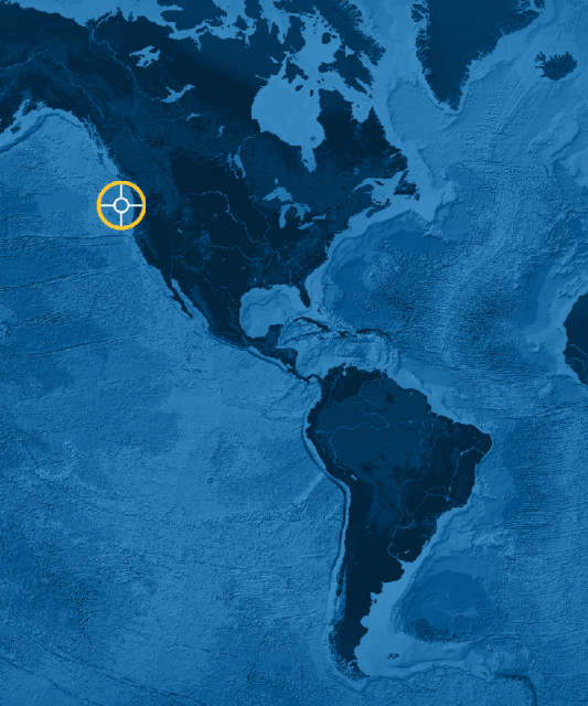
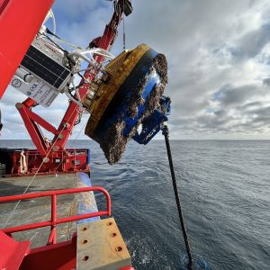
A group of Ocean Observatories Initiative (OOI) leaders visited OOI facilities at Oregon State University and the University of Washington last week to get a first-hand look at operations of the Coastal Endurance Array and Regional Cabled Array, respectively. National Science Foundation Program Director George Voulgaris, OOI Principal Investigator Jim Edson and Senior Program Manager Paul Matthias spent five days on the road meeting with their OOI west coast colleagues. The trip was designed to give recently appointed Voulgaris an opportunity to inspect the infrastructure and meet team members who keep the Coastal Endurance and Regional Cabled Arrays operational and reporting back data around the clock. Edson and Matthias seized the opportunity to meet in person with colleagues who they routinely see on the screen.
The following provides a glimpse of some of the activities that occurred during the trip:
[media-caption path="https://oceanobservatories.org/wp-content/uploads/2023/02/20230207_140014.jpg" link="#"]Grant Dunn, Mechanical Engineer with the Electronic & Photonic Systems Department at UW-APL (left) describes the level-wind system on the RCA profiler mooring to Dr. George Voulgaris during a tour of the RCA laboratory facilities at the University of Washington as RCA Project Manager Brian Ittig looks on. Credit: Paul K. Matthias © WHOI.[/media-caption] [media-caption path="https://oceanobservatories.org/wp-content/uploads/2023/02/20230207_144911.jpg" link="#"]Regional Cabled Array Principal Investigator Deborah Kelley (left) and OOI Senior Program Manager Paul Matthias take a selfie to commemorate their in-person visit during a tour of the RCA facilities at the University of Washington. Credit: Paul K. Matthias © WHOI.[/media-caption] [media-caption path="https://oceanobservatories.org/wp-content/uploads/2023/02/20230207_141656.jpg" link="#"]NSF Program Director George Voulgaris (from left), OOI Principal Investigator Jim Edson look on as Regional Cabled Array technicians Grant Dunn, Mechanical Engineer with the Electronic & Photonic Systems Department at UW-APL, and RCA Chief Engineer Chuck McGuire explain the engineering associated with the RCA profiler mooring during a tour of RCA’s facilities at the University of Washington. Credit: Paul K. Matthias © WHOI.[/media-caption] [media-caption path="https://oceanobservatories.org/wp-content/uploads/2023/02/20230209_123758.jpg" link="#"]NSF Program Director George Voulgaris (left) asks OSU technician Jonathan Whitefield questions about glider operations that provide critical water column data around the moorings of the Coastal Endurance Array. Credit: Paul K. Matthias © WHOI.[/media-caption] [media-caption path="https://oceanobservatories.org/wp-content/uploads/2023/02/20230207_112718.jpg" link="#"]NSF Program Director George Voulgaris (foreground) and RCA Chief Engineer Chuck McGuire discuss the RCA data monitoring systems as OOI PI Jim Edson points to real-time data on the screen being relayed by instrumentation on the Regional Cabled Array. Credit: Paul K. Matthias © WHOI.[/media-caption] [media-caption path="https://oceanobservatories.org/wp-content/uploads/2023/02/20230209_130353.jpg" link="#"]NSF Program Director George Voulgaris (left) gets a hands-on look at the multiple instruments contained on multi-function node that will sit on the bottom of the ocean floor for six months collecting data for the Coastal Endurance Array. Coastal Endurance Array Principal Investigator Ed Dever (middle) and Project Manager Jonathan Fram the functionality of each instrument during the visit to Oregon State University. Credit: Paul K. Matthias © WHOI.[/media-caption]
Read More
OOI Data Center Transferred to OSU
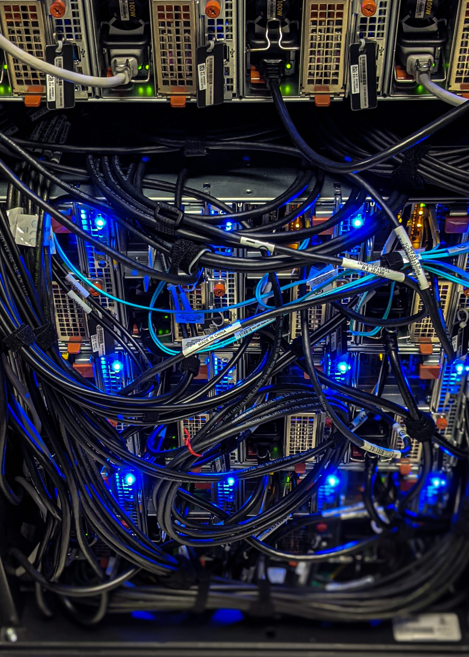
It’s official. As of Friday 30 July 2021, OOI data are now being stored and served on their new Cyberinfrastructure housed at the OOl Data Center at Oregon State University (OSU). The transfer of data from Rutgers, the State University of New Jersey, has been in the works since last October, when OSU was awarded the contract for the center.
“The transfer of 105 billion rows of data was nearly seamless, which attests to the collaboration between the OOI technical and data teams, said Jeffrey Glatstein, OOI Data Delivery Lead and Senior Manager of Cyberinfrastructure. “It literally took a village and we are grateful to the marine implementing organizations at the University of Washington, Woods Hole Oceanographic Institution, and Oregon State University for their part in making this transfer happen while data continue to be collected 24/7.”
OSU Project Manager Craig Risien added, “July 30, 2021 was the culmination of about ten months of working with our Dell EMC partners, the OOI Marine Implementing Organizations, and the OOI Cyberinfrastructure team to deliver a state-of-the-art and highly extensible data center to meet OOI’s present and future data handling needs. We are very pleased with how the data center migration project has proceeded, thus far.”
[feature][caption id="attachment_21888" align="aligncenter" width="519"]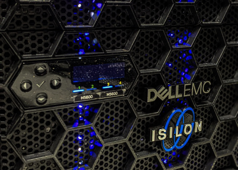 The primary repository of OOI raw data is the Dell EMC Isilon cluster, a scale out network-attached storage platform for storing high-volume, unstructured data. Photo: Craig Risien, OSU.[/caption]
[/feature]
OSU’s Data Center was designed to handle telemetered, recovered, and streaming data for OOI’s five arrays that include more than 900 instruments. Telemetered data are delivered to the Data Center from moorings and gliders using remote access such as satellites. Recovered data are complete datasets that are retrieved and uploaded once an ocean observing platform is recovered from the field. Streaming data are delivered in real time directly from instruments deployed on the cabled array.
“The OSU Data Center includes modern storage solutions, Palo Alto next-generation firewalls that ensure system security, and a hyperconverged ‘virtual machine’ infrastructure that makes the OOI software and system easier to manage and more responsive to internal and external data delivery demands, “ explained OSU Principal Investigator Anthony Koppers. “With this equipment now operational at OSU, we are well positioned to seamlessly serve the more than 1 PB of critically important data collected by the OOI to the wide-ranging communities doing marine research and education with ample space to grow well into the future.”
Read More