OOI In The News
REMUS 600 at Pioneer Array Reported
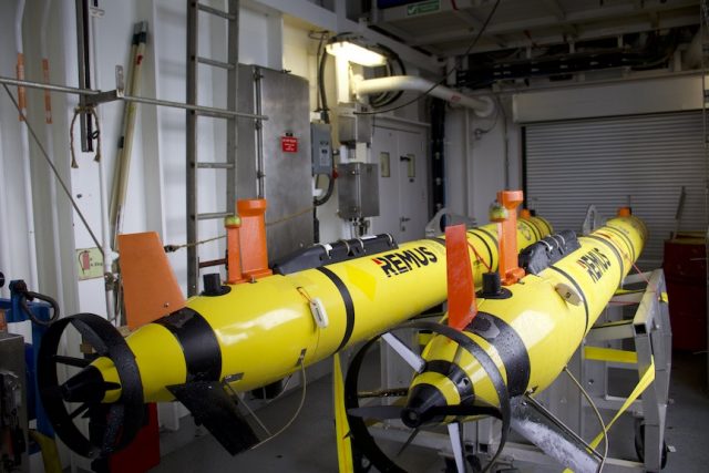
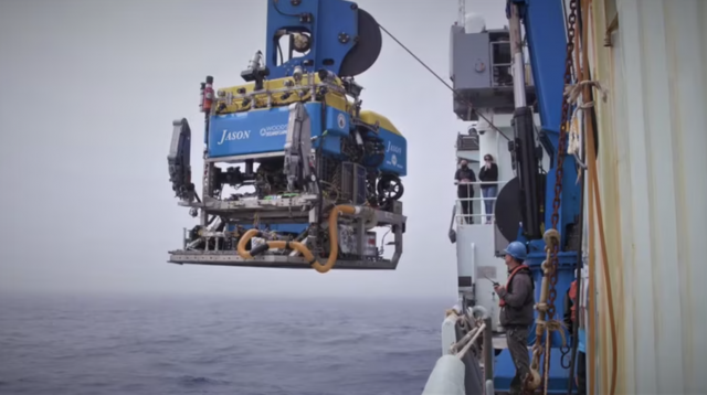
The use of REMUS 600 autonomous underwater vehicle at the new Pioneer Array location in the Mid-Atlantic Bight was reported in AZoRobotics.
Read More
National Lab Researchers Working on Wave Energy Converter for Pioneer
The Water Power Technologies Office of the US Department of Energy’s Office of Energy Efficiency and Renewable Energy announced that Sandia National Laboratories, in partnership with Woods Hole Oceanographic Institution, is working to develop a wave energy converter (WEC) that can support the Coastal Pioneer Array, one of five arrays that make up the U.S. National Science Foundation Ocean Observatories Initiative.
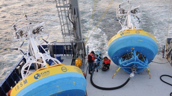
The WEC will serve the Coastal Surfacing Mooring (CSM) system, which currently relies on solar, wind, and battery systems to power multiple sensors on the buoy itself and along the mooring line. These existing energy resources meet the system’s full power demand about 70% of the time. To satisfy the full power demand 100% of the time and prevent interruptions to data streams, Sandia has been investigating designs for WECs that could provide additional electrical power to the CSM.
Read more here.
Read MoreCall for Additional Ocean Observations
In a widely distributed editorial opinion piece, Peter de Menocal, president and director of the Woods Hole Oceanographic Institution, and Margaret Leinen, vice chancellor for marine science and director of the Scripps Institution of Oceanography/University of California San Diego, explain why the ocean can be seen as our greatest ally in tackling climate change. They cite the importance of ocean observing systems like the Ocean Observatories Initiative (OOI), the ARGO Program, and ship-based operations, including those supported by the global GO-SHIP expeditions.
Read about how OOI and others are contributing vital data to understanding the changing ocean.
https://oceanographicmagazine.com/features/the-ocean-our-greatest-ally-in-tackling-climate-change/
http://digital.oceannews.com/december-2023/page-1?m=9767&i=810338&p=14&_ga=2.249360967.1538107420.1702656208-1663532955.1702656207&ver=html5
Read More
NSF Grants OSU Ocean Research Consortium $220 million
The Daily Barometer reported on a recent National Science Foundation $220 million award to a consortium of ocean research institutions — Woods Hole Oceanographic Institution, Oregon State University and the University of Washington — to carry on the operation and maintenance of the NSF-funded Ocean Observatories Initiative. The funding runs through 2028. Read the article here.
Read MoreOOI Featured on IDEA Podcast
Have a listen in here to the IDEA Podcast where OOI’s Lead Principal Investigator Jim Edson, Senior Manager of Cyberinfrastructure Jeffrey Glatstein, and Project Manager of OOI’s Data Center Craig Risien discuss the challenges and opportunities of managing, making available, and securing OOI’s data base of 135 billion rows of stored data that grow by the minute!
The interviewers are Shannon Sheridan, Research Data Librarian at Pacific NW National Laboratory, and Briana Ezray Wham, Data Learning Center Manager and Research Data Librarian at Penn State University.
Read MorePBS of North Carolina Blogs about Pioneer’s New Location
In a blog post, the PBS of North Carolina summarizes plans for the relocation of the Coastal Pioneer Array to a site of the coast of Carolina:
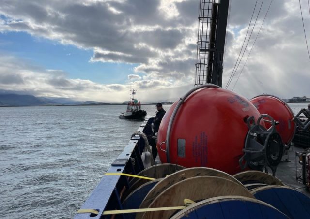
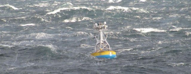
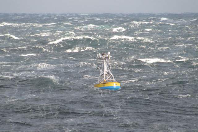
[media-caption path="https://oceanobservatories.org/wp-content/uploads/2023/10/PBS-Blog.jpeg" link="#"]Surface moorings of the Pioneer Array loaded with scientific instruments are built to withstand all types of ocean conditions. ©WHOI.[/media-caption]Water covers about 71% of the Earth’s surface, and our oceans hold about 96.5% of it. It’s no surprise then that oceans play a key role in the Earth’s weather, climate and food supply.
So, it’s important to know what’s happening in the ocean. And the ocean off North Carolina’s coast is going to get a closer look starting in 2024. That’s when a set of scientific instruments, called the Coastal Pioneer Array, will be deployed about 35 miles off Nags Head. The system is part of the Ocean Observatories Initiative, or OOI.
“The OOI offers many opportunities for scientists to obtain data to further their research, and it provides insight into conditions in the area for a variety of stakeholders,” said Dr. Albert Plueddemann, project scientist for OOI’s Coastal Global Scale Nodes group at Woods Hole Oceanographic Institution. “We welcome researchers, educators and industry members to reach out to us to explore ways we might work together to maximize the usefulness of the data.”
Read the entire post here.
Read More
Axial Seamount Helping Scientists Forecast Eruptions
On March 20, 2023, Oregon Public Radio reported about scientists work at Axial Seamounts, a seamount and submarine volcano on the Juan de Fuca Ridge, about 480 kilometers off the coast of Oregon. The story details how bottom pressure recorders connected to OOI’s Regional Cabled Array are helping reveal the inner workings of the Axial Seamount and helping scientists forecast when it might erupt next. Featured are Oregon State University Professor Bill Chadwick, University of North Carolina Professor Scott Nooner, Oregon State University Assistant Professor Jeff Beeson, and College of Charleston Assistant Professor Haley Cabannis.
Access the article here.
Read MoreCoastal Review Reports on Pioneer’s Relocation
The Coastal Pioneer Array will have a new home in the Southern Mid-Atlantic Bight in the spring of 2024. Just like any move, there are lots of preparations necessary. In this case, test deployments are now taking place to ensure the Array can be in tune with its new environment.
Reporter Jennifer Allen provides insight into the ongoing preparations for the move and plans forward in an article in Coastal Review.
Read More
Accessible Ocean Reported in LA Times
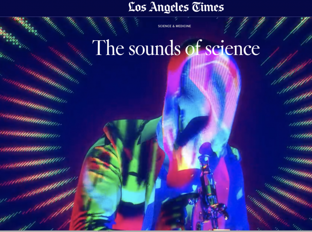
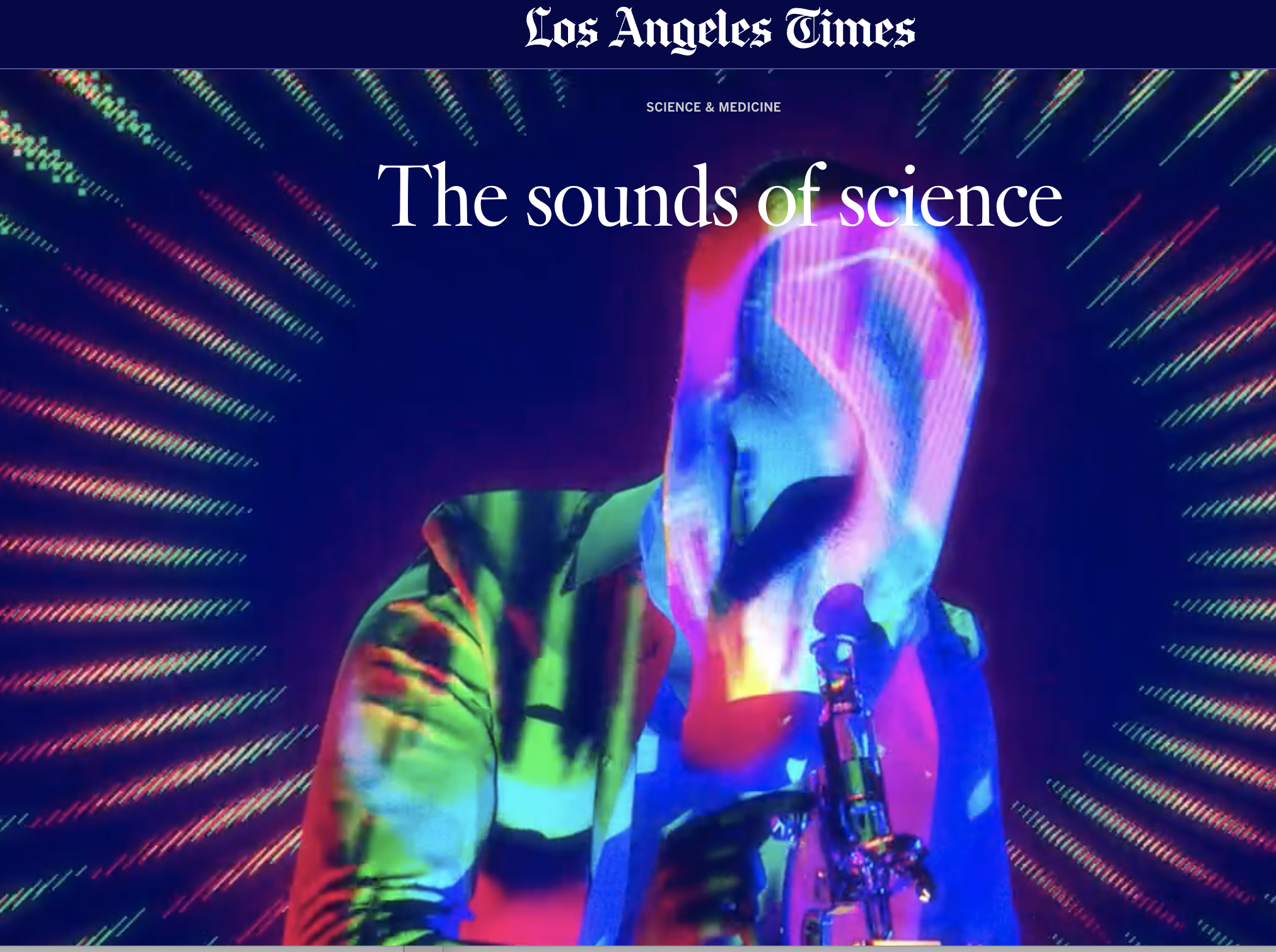
On February 3, 2023, the Los Angeles Times reported on the work of Woods Hole Oceanographic Researcher Amy Bower and her colleagues on the Accessible Oceans Project. The team uses OOI and other auditory data to explore ways sound can be used to help visualize ocean science for the visually impaired. It’s cutting-edge, fascinating, and inclusive work.
Read the LA Times report on this important initiative.
Read MoreOOI Hydrophone Data Helping ID Whale Calls
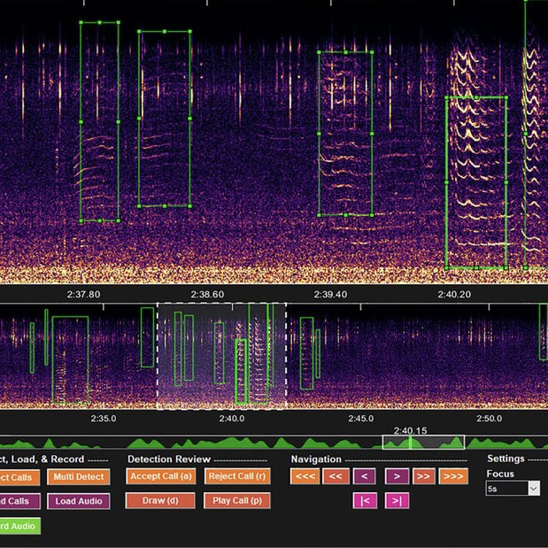
Elizabeth Ferguson of Ocean Science Analytics used OOI hydrophone data with DeepSqueak – a computer program designed to sort mice squeaks that is also finding whales in the deep.
She was interviewed about her work by Joe Palca on Morning Edition of NPR o n May 31, 2002. Listen to the report here.
Read More

