Instruments
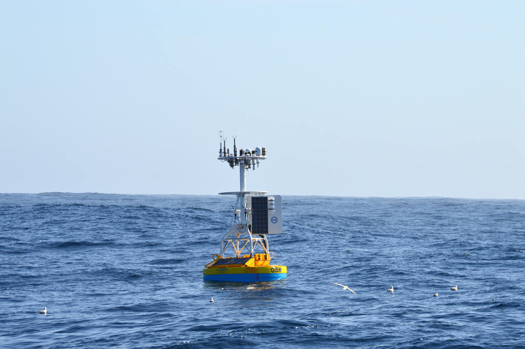
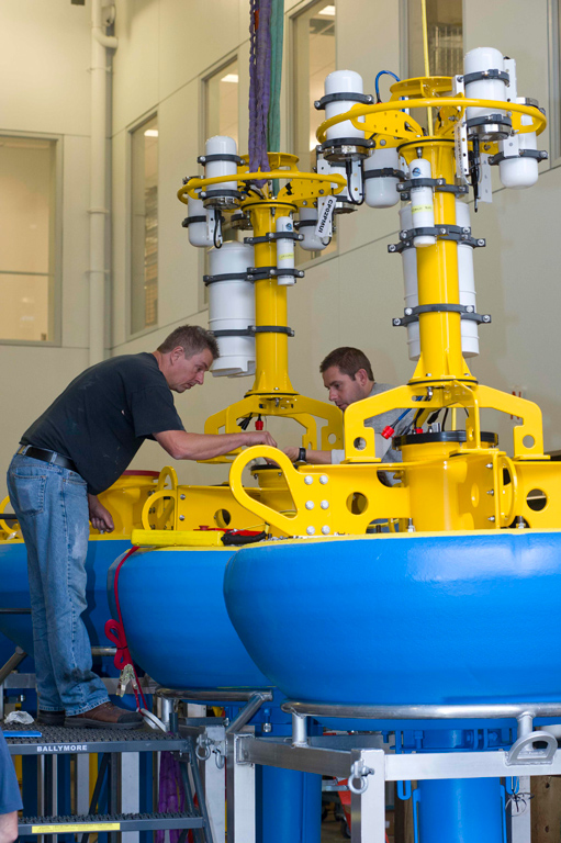
The OOI manages and integrates data from more than 900 instruments deployed on its five arrays. Instruments are located on both fixed and mobile platforms including surface buoys, inductive mooring cables, seafloor junction boxes, profilers, gliders, Autonomous Underwater Vehicles. Overall, nearly 75 models of specialized instruments are used throughout the OOI, continuously collecting more than 200 unique data products.
Instruments on OOI arrays consist of Core Instruments, those that are integral to the OOI’s data collection infrastructure, and PI instruments, which have been added to the arrays to collect specific data to either test hypotheses or conduct specific experiments. Researchers who are interested in adding an instrument to OOI’s Regional Cabled Array or uncabled moorings can find more information here.
To learn more about a specific type of instrument, its location, and the data products associated with it, select from the list below.
OOI Instruments
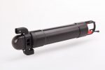
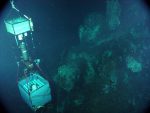
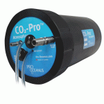
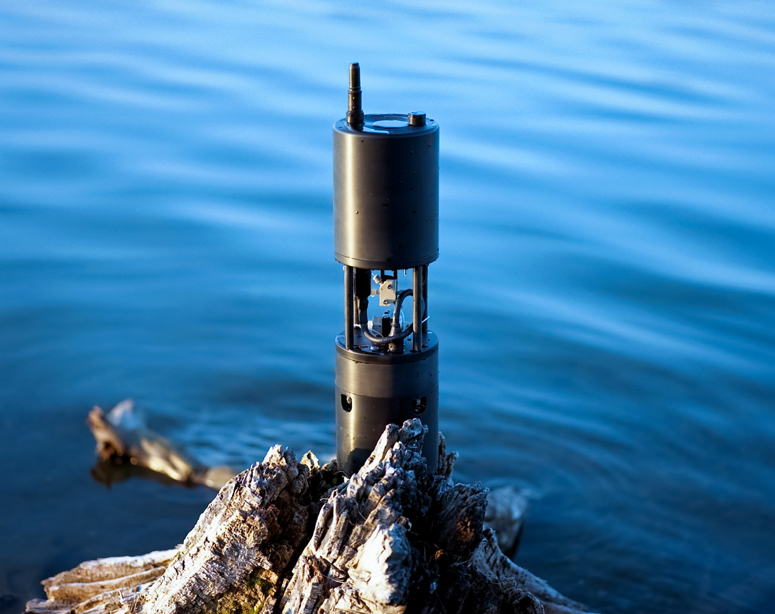
PI Added Instruments
| Image | Instrument Name | Primary Discipline |
|---|---|---|

|
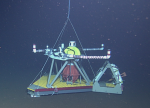
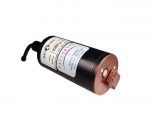
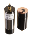
A-0-A Calibrated Pressure Instrument (A0ABPA301) | Marine Geophysics |

|
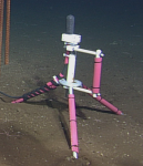
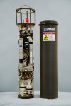
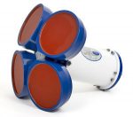
MARUM Camera System (CAMPIA101) | Marine Geophysics |

|
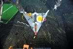
Tagging and Tracking of Large Fish Along the PNW Coast (CE01ISSM-MFD35-03-ARCVRA000) | |

|
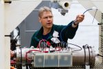
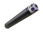
Cabled Array Vent Imaging Sonar (COVIS) (COVISA301) | Marine Geophysics |

|
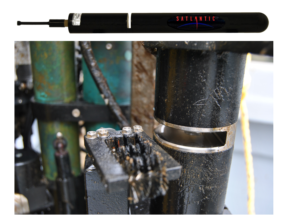
MARUM CTD-DO Instrument (CTDPFA110) | Marine Geophysics |
|
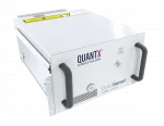
RAPID: Distributed Acoustic Sensing on the OOI’s Regional Cabled Array (DAS) | Geophysics |

|
RAPID: Multiplexed Distributed Acoustic Sensing (DAS) at the Ocean Observatory Initiative (OOI) Regional Cabled Array (RCA) (DAS) | Geophysics |
|
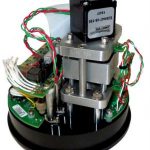
Lab-on-a-Chip Nitrate and Silicate Sensors (GS01SUMO-RID27-01-NOCNIA000, GS01SUMO-RID27-02-NOCSIA000) | Biogeochemistry |

|
MARUM Southern Hydrate Ridge Overview Sonar (OVRSRA101) | Marine Geophysics |

|
MARUM Quantification Sonar Southern Hydrate Ridge (QNTSRA101) | Marine Geophysics |

|
Self-Calibrating Pressure Recorder (SCPRAAA301) | Marine Geophysics |


